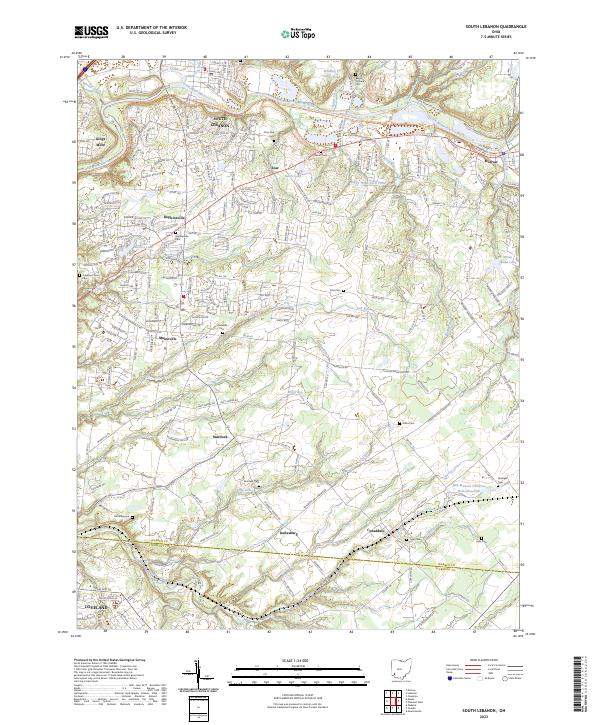
2023 Map of South Lebanon
USGS Topo · Published 2023About this map
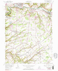
The Little Miami River carves a winding path through the northern landscape of Warren County, where the historic settlements of South Lebanon, Kings Mills, and Morrow anchor a region defined by its waterway and ridge-top communities. This modern survey illustrates the persistent rural-suburban character of the area, featuring a dense network of local roads connecting small hubs like Maineville, Hopkinsville, and Murdock. Significant genealogical resources are scattered throughout the quadrangle, including the Deerfield Cem, Maineville Cem, and the sequestered Hill Graveyard.
Find a feature on this map
51 named features on this map. Tap any name to fly to it.
Don’t see what you’re looking for? This feature index may not catch every label — zoom into the map to look around manually.
Map Details
Editions of this 2023 South Lebanon Map
This is the sole edition of this map. No revisions or reprints were ever made.