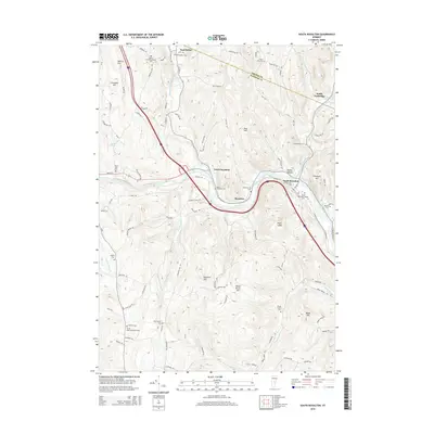
2015 Map of South Royalton
USGS Topo · Published 2015About this map
The confluence of the White River and its branches dictates the settlement patterns of this Vermont landscape, with the village of South Royalton serving as a primary hub. The Vermont Law Sch is situated near the riverbanks, anchoring the town's center alongside the South Royalton Village Cem. Transportation corridors follow the water, with VT Route 14 tracing the Second Branch White River through East Bethel and North Royalton.
Find a feature on this map
98 named features on this map. Tap any name to fly to it.
Don’t see what you’re looking for? This feature index may not catch every label — zoom into the map to look around manually.
Map Details
Editions of this 2015 South Royalton Map
This is the sole edition of this map. No revisions or reprints were ever made.
Other maps of this area

1896 · Strafford
USGS Topo · 1:62,500

1906 · Hanover
USGS Topo · 1:62,500

1908 · Hanover
USGS Topo · 1:62,500

1911 · Woodstock
USGS Topo · 1:62,500

1913 · Woodstock
USGS Topo · 1:62,500

1919 · Royalton
USGS Topo · 1:62,500

1924 · Randolph
USGS Topo · 1:48,000

1926 · Randolph
USGS Topo · 1:62,500

1943 · Woodstock
USGS Topo · 1:62,500

1944 · Strafford
USGS Topo · 1:62,500