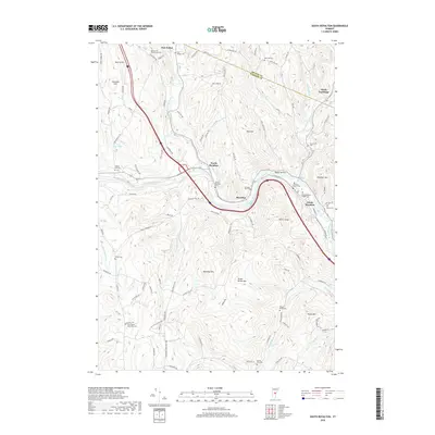
2018 Map of South Royalton
USGS Topo · Published 2018About this map
South Royalton serves as a cultural and educational center in this Vermont landscape, notably home to the Vermont Law School. The village sits along a sharp bend in the White River, which acts as a primary geographical anchor for the region's historical development. The map reveals a dense network of local cemeteries reflecting generations of rural settlement, including the South Royalton Village Cem, North Royalton Cem, and the Old North Road Methodist Cem.
Find a feature on this map
97 named features on this map. Tap any name to fly to it.
Don’t see what you’re looking for? This feature index may not catch every label — zoom into the map to look around manually.
Map Details
Editions of this 2018 South Royalton Map
This is the sole edition of this map. No revisions or reprints were ever made.
Other maps of this area

1896 · Strafford
USGS Topo · 1:62,500

1906 · Hanover
USGS Topo · 1:62,500

1908 · Hanover
USGS Topo · 1:62,500

1911 · Woodstock
USGS Topo · 1:62,500

1913 · Woodstock
USGS Topo · 1:62,500

1919 · Royalton
USGS Topo · 1:62,500

1924 · Randolph
USGS Topo · 1:48,000

1926 · Randolph
USGS Topo · 1:62,500

1943 · Woodstock
USGS Topo · 1:62,500

1944 · Strafford
USGS Topo · 1:62,500