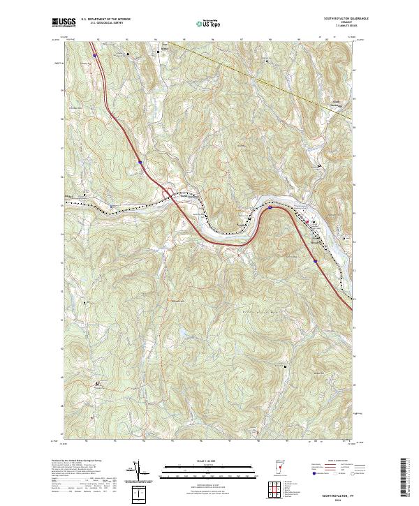
2024 Map of South Royalton
USGS Topo · Published 2024About this map
The White River and its various branches, including the Second Branch White River and First Branch White River, dictate the geography and settlement patterns of this Windsor County landscape. The village of South Royalton serves as a local center, notably housing the Vermont Law and Graduate School near the riverbanks. The surrounding terrain is defined by significant elevations such as Broad Brook Mtn and Elephant Hill, while the valleys are dotted with historic burial grounds like the South Royalton Village Cem and Pleasant Hill Cem.
Find a feature on this map
104 named features on this map. Tap any name to fly to it.
Don’t see what you’re looking for? This feature index may not catch every label — zoom into the map to look around manually.
Map Details
Editions of this 2024 South Royalton Map
This is the sole edition of this map. No revisions or reprints were ever made.
Other maps of this area

1896 · Strafford
USGS Topo · 1:62,500

1906 · Hanover
USGS Topo · 1:62,500

1908 · Hanover
USGS Topo · 1:62,500

1911 · Woodstock
USGS Topo · 1:62,500

1913 · Woodstock
USGS Topo · 1:62,500

1919 · Royalton
USGS Topo · 1:62,500

1924 · Randolph
USGS Topo · 1:48,000

1926 · Randolph
USGS Topo · 1:62,500

1943 · Woodstock
USGS Topo · 1:62,500

1944 · Strafford
USGS Topo · 1:62,500