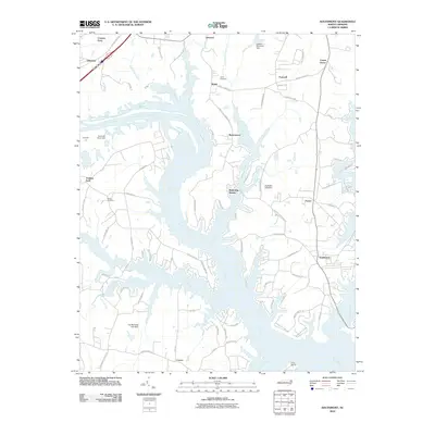
2010 Map of Southmont
USGS Topo · Published 2010About this map
The Yadkin River dominates this landscape, branching into a complex network of inlets and creeks as it winds past Southmont. This area of Davidson County is characterized by shoreline communities like Ravenwood and Watership Downs, where modern road development such as Riverview Blvd and Hickory Point Dr meets older local infrastructure. Historical continuity is visible in established sites like Jersey Cemetery and Bethel Cemetery, alongside several water control structures including Cobles Reservoir Dam and Clodfelter Lake Dam. The river's historical importance for transit is evidenced by labels for Cowans Ferry and Trading Ford, while the surrounding rail-and-road network is anchored by Linwood Southmont Rd and the Southern Railroad Station Rd. Small settlements like Feezor and Jersey remain focal points in this hybrid rural and lakeside environment.
Find a feature on this map
81 named features on this map. Tap any name to fly to it.
Don’t see what you’re looking for? This feature index may not catch every label — zoom into the map to look around manually.
Map Details
Editions of this 2010 Southmont Map
This is the sole edition of this map. No revisions or reprints were ever made.
Other maps of this area

1949 · High Rock
USGS Topo · 1:24,000

1949 · Denton NW
USGS Topo · 1:24,000

1950 · Lexington East
USGS Topo · 1:24,000

1950 · Lexington West
USGS Topo · 1:24,000

1950 · Churchland
USGS Topo · 1:24,000

1951 · Churchland
USGS Topo · 1:24,000

1951 · Lexington East
USGS Topo · 1:24,000

1951 · Lexington West
USGS Topo · 1:24,000

1953 · Charlotte
USGS Topo · 1:250,000

1954 · Charlotte
USGS Topo · 1:250,000