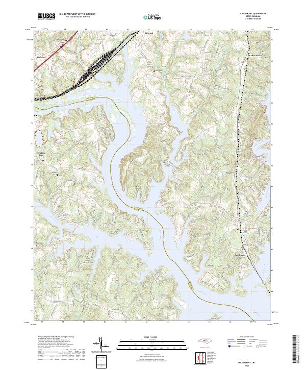
2022 Map of Southmont
USGS Topo · Published 2022About this map
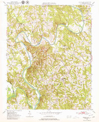
The Yadkin River carves a deep horseshoe through this landscape, serving as the jurisdictional boundary between Davidson Co and Rowan Co. The terrain is defined by the winding inlets of Crane Creek, Swearing Creek, and Abbotts Creek, which create a complex shoreline supporting small residential clusters like Southmont and Lakeview. This 2022 survey captures the modern development of the High Rock Lake area, where the river's path has heavily influenced the layout of local roads such as Linwood-Southmont Rd and Riverview Dr.
Find a feature on this map
144 named features on this map. Tap any name to fly to it.
Don’t see what you’re looking for? This feature index may not catch every label — zoom into the map to look around manually.
Map Details
Editions of this 2022 Southmont Map
This is the sole edition of this map. No revisions or reprints were ever made.
Other maps of this area
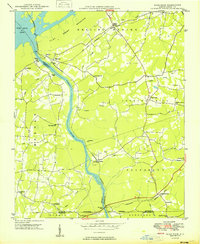
1949 · High Rock
USGS Topo · 1:24,000

1949 · Denton NW
USGS Topo · 1:24,000
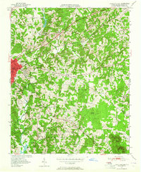
1950 · Lexington East
USGS Topo · 1:24,000
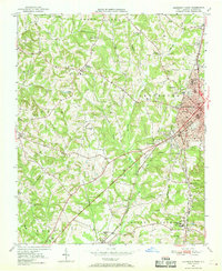
1950 · Lexington West
USGS Topo · 1:24,000
1950 · Churchland
USGS Topo · 1:24,000

1951 · Churchland
USGS Topo · 1:24,000

1951 · Lexington East
USGS Topo · 1:24,000

1951 · Lexington West
USGS Topo · 1:24,000

1953 · Charlotte
USGS Topo · 1:250,000

1954 · Charlotte
USGS Topo · 1:250,000