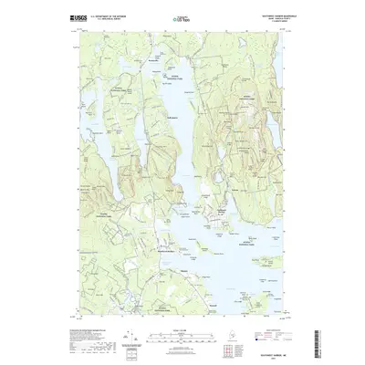
2021 Map of Southwest Harbor
USGS Topo · Published 2021About this map
Somes Sound bisects the landscape of Mount Desert Island, creating a dramatic corridor between Acadia Mtn and the elevations to the east. This coastal survey centers on the maritime and village life of Southwest Harbor, Northeast Harbor, and Manset, where the relationship between the sea and the shore is defined by deep inlets and protected harbors. The map reveals a dense network of local history through its numerous small family burial sites, such as the Clark Family Burying Ground and the Gilley Burying Ground, which are scattered among the settlements.
Find a feature on this map
270 named features on this map. Tap any name to fly to it.
Don’t see what you’re looking for? This feature index may not catch every label — zoom into the map to look around manually.
Map Details
Editions of this 2021 Southwest Harbor Map
This is the sole edition of this map. No revisions or reprints were ever made.
Other maps of this area

1904 · Mount Desert
USGS Topo · 1:62,500

1904 · Swan Island
USGS Topo · 1:62,500

1904 · Bar Harbor
USGS Topo · 1:62,500

1942 · Bar Harbor
USGS Topo · 1:62,500

1942 · Mount Desert
USGS Topo · 1:62,500

1943 · Swans Island
USGS Topo · 1:62,500

1945 · Swans Island
USGS Topo · 1:62,500

1948 · Bangor
USGS Topo · 1:250,000

1956 · Bar Harbor
USGS Topo · 1:62,500

1956 · Mount Desert
USGS Topo · 1:62,500