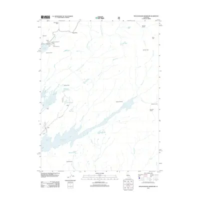
2012 Map of Spicer Meadow Reservoir
USGS Topo · Published 2012About this map
Spicer Meadow Reservoir dominates the high country of this 2012 survey, which covers a significant stretch of the Sierra Nevada's western slope. The landscape is defined by its massive water storage systems and recreational infrastructure, including Lake Alpine, Utica Reservoir, and Union Reservoir. Around the northern shores of Lake Alpine, a network of established sites like Pine Marten Campground, Silver Valley Campground, and the Chickaree Picnic Area mark a busy corridor for outdoor tourism.
Find a feature on this map
50 named features on this map. Tap any name to fly to it.
Don’t see what you’re looking for? This feature index may not catch every label — zoom into the map to look around manually.
Map Details
Editions of this 2012 Spicer Meadow Reservoir Map
This is the sole edition of this map. No revisions or reprints were ever made.
Other maps of this area

1889 · Pyramid Peak
USGS Topo · 1:125,000

1889 · Markleeville
USGS Topo · 1:125,000

1891 · Markleeville
USGS Topo · 1:125,000

1891 · Big Trees
USGS Topo · 1:125,000

1891 · Pyramid Peak
USGS Topo · 1:125,000

1893 · Markleeville
USGS Topo · 1:125,000

1894 · Big Trees
USGS Topo · 1:125,000

1895 · Pyramid Peak
USGS Topo · 1:125,000

1896 · Dardanelles
USGS Topo · 1:125,000

1896 · Pyramid Peak
USGS Topo · 1:125,000