Loading...
Loading map...2022 Map of Spivey
USGS Topo · Published 2022About this map
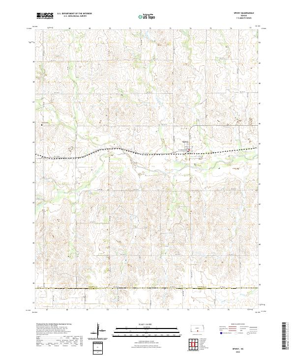
The town of Spivey serves as the central hub of this South Central Kansas landscape, situated where W Stanley Ave meets N Main St. The settlement is defined by its position north of the meandering Wild Horse Cr, while the surrounding prairie is marked by a systematic grid of section roads including SW 140 St and SW 20 Ave. To the west, the Nichols Cem stands as a quiet record of local genealogy near the headwaters of Sand Cr.
Find a feature on this map
42 named features on this map. Tap any name to fly to it.
Don’t see what you’re looking for? This feature index may not catch every label — zoom into the map to look around manually.
Map Details
Date Portrayed2022
Date Published2022
PublisherU.S. Geological Survey
Map TypeTopographic
Scale1:24000
Physical Dimensions24 x 29 inches
Editions of this 2022 Spivey Map
This is the sole edition of this map. No revisions or reprints were ever made.
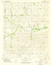
Historical Maps of Harper County Through Time
Featured Locations
Source Details
SourceU.S. Geological Survey
CopyrightPublic Domain