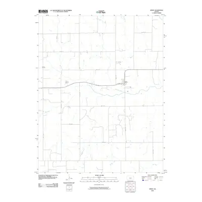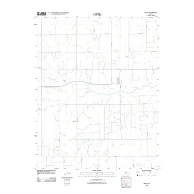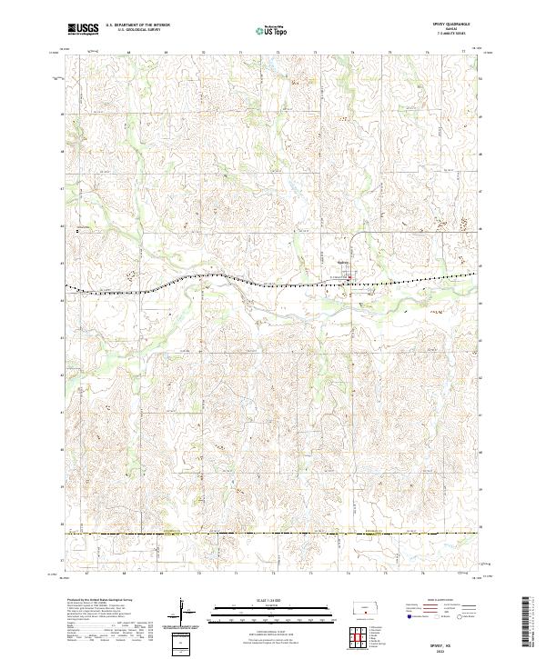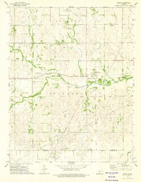
1973 Map of Spivey
USGS Topo · Published 1975About this map
Spivey sits at the heart of this mid-1970s landscape, positioned where the Atchison Topeka and Santa Fe railroad crosses the Chikaskia River. The town is surrounded by a patchwork of rural land use, dominated by the extensive Chikaskia Gas Field, which is crisscrossed by numerous pipelines. The terrain is shaped by the winding paths of Sand Creek and Wild Horse Creek, which feed into the larger river valley. A significant historical marker, the Old Indian Treaty Boundary, cuts horizontally across the map, delineating former territorial divisions. Local infrastructure is reflected in specialized features like the Dick Landing Strip and a prominent Radio Tower, while the Nichols Cem provides a point of interest for genealogists tracing families in the Rochester and Peters townships.
Find a feature on this map
21 named features on this map. Tap any name to fly to it.
Don’t see what you’re looking for? This feature index may not catch every label — zoom into the map to look around manually.
Map Details
Editions of this 1973 Spivey Map
This is the sole edition of this map. No revisions or reprints were ever made.
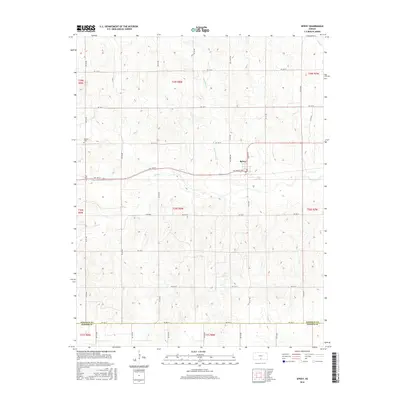
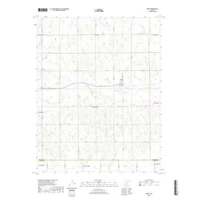
Historical Maps of Spivey Through Time
6 maps found