
1891 Map of Anthony
USGS Topo · Published 1891About this map
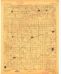
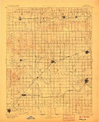
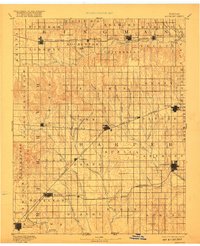
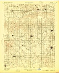
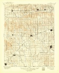
The Chicaskia River and Bluff Creek drain a landscape of expanding rail networks and emerging townships at the end of the nineteenth century. Surveyed just years after the opening of southern Kansas to heavy settlement, this topography reveals the essential role of the Atchison Topeka and Santa Fe Railroad and the Missouri Pacific Railroad in establishing commercial centers like Anthony, Harper, and Attica. The map documents the grid-like progression of settlements, from the established streets of Hazelton to smaller outposts like Ruella, Crisfield, and Crystal Springs. In the southwest, the Medicine Lodge River cuts through the terrain near New Kiowa, while the prominent landmark of Pilot Knob stands as a natural beacon in the eastern half of the survey. The intricate detail of small tributaries, including Sandy Creek and Cottonwood Creek, illustrates the drainage patterns that dictated early farmstead placement across the prairie.
Find a feature on this map
67 named features on this map. Tap any name to fly to it.
Don’t see what you’re looking for? This feature index may not catch every label — zoom into the map to look around manually.
Map Details
Editions of this 1891 Anthony Map
6 editions found
Other maps of this area

1889 · Anthony
USGS Topo · 1:125,000

1889 · Cheney
USGS Topo · 1:125,000

1889 · Caldwell
USGS Topo · 1:125,000

1891 · Medicine Lodge
USGS Topo · 1:125,000

1891 · Cheney
USGS Topo · 1:125,000

1892 · Kingman
USGS Topo · 1:125,000

1892 · Pratt
USGS Topo · 1:125,000

1893 · Caldwell
USGS Topo · 1:125,000

1893 · Medicine Lodge
USGS Topo · 1:125,000

1894 · Kingman
USGS Topo · 1:125,000