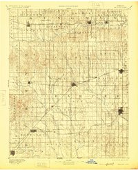
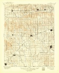
1891 Map of Anthony
USGS Topo · Published 1925About this map
The Anthony townsite serves as a vital junction in southern Kansas during the late nineteenth century, where the St. L. & S. F. R. R. meets the Missouri Pacific Railroad. This reconnaissance survey, conducted just years after the peak of the regional land booms, reveals a landscape structured by the township system and a rapidly expanding rail network. To the west, New Kiowa and Hazelton anchor the borderlands near the Kansas Oklahoma Boundary Line, while the Medicine Lodge River and Chikaskia River drainage systems define the natural topography. Significant early settlements like Attica, Harper, and Nashville are shown along the Atchison Topeka and Santa Fe Railroad, reflecting the era's reliance on steel rails for transit and trade. Notable landmarks such as Pilot Knob stand out against the agricultural grid, providing a clear view of the territory's transition from open prairie to established township communities.
Find a feature on this map
62 named features on this map. Tap any name to fly to it.
Don’t see what you’re looking for? This feature index may not catch every label — zoom into the map to look around manually.
Map Details
Editions of this 1891 Anthony Map
6 editions found
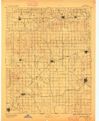
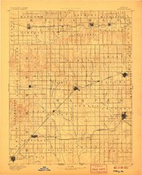
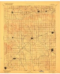
Other maps of this area

1889 · Anthony
USGS Topo · 1:125,000

1889 · Cheney
USGS Topo · 1:125,000

1889 · Caldwell
USGS Topo · 1:125,000

1891 · Medicine Lodge
USGS Topo · 1:125,000

1891 · Cheney
USGS Topo · 1:125,000

1891 · Anthony
USGS Topo · 1:125,000

1892 · Kingman
USGS Topo · 1:125,000

1892 · Pratt
USGS Topo · 1:125,000

1893 · Caldwell
USGS Topo · 1:125,000

1893 · Medicine Lodge
USGS Topo · 1:125,000