
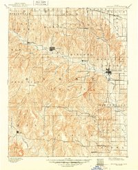
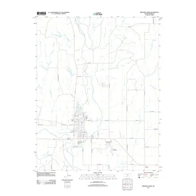
1891 Map of Medicine Lodge
USGS Topo · Published 1891About this map
Medicine Lodge serves as the primary hub of this 1890 survey of Barber County, where the Atchison Topeka and Santa Fe Railroad terminates at the river's edge. The landscape is defined by an intricate network of drainage, with the Medicine Lodge River winding through the center while the Salt Fork Creek traverses the southern reaches near Etna. The map captures the early settlement patterns of South Central Kansas, showing small communities like Sun City and Lake City established along the valley floor.
Find a feature on this map
61 named features on this map. Tap any name to fly to it.
Don’t see what you’re looking for? This feature index may not catch every label — zoom into the map to look around manually.
Map Details
Editions of this 1891 Medicine Lodge Map
This is the sole edition of this map. No revisions or reprints were ever made.
Historical Maps of Medicine Lodge Through Time
9 maps found
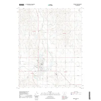
1891 Medicine Lodge
Barber County, KS
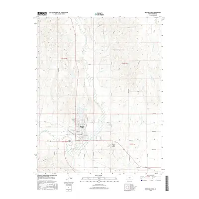
1893 Medicine Lodge
Barber County, KS
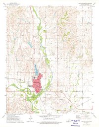
1973 Medicine Lodge
Barber County, KS
1985 Medicine Lodge
Barber County, KS
2009 Medicine Lodge
Barber County, KS
2012 Medicine Lodge
Barber County, KS
2015 Medicine Lodge
Barber County, KS
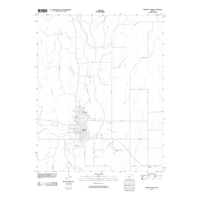
2018 Medicine Lodge
Barber County, KS
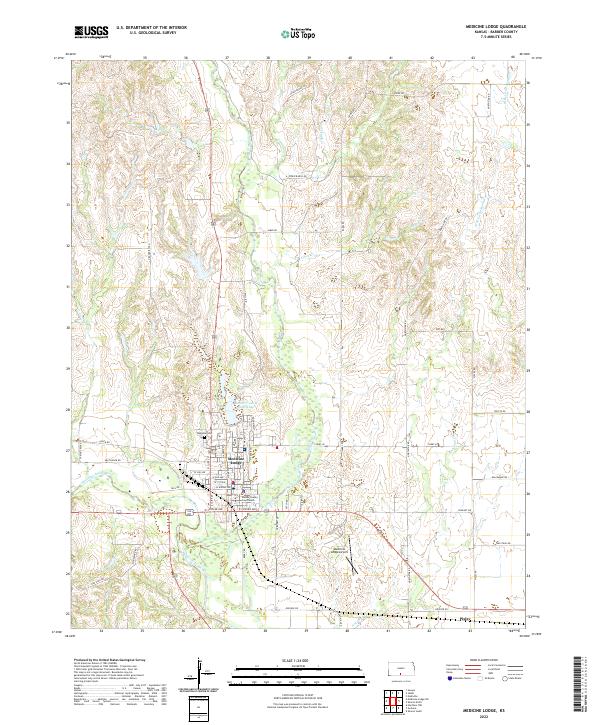
2022 Medicine Lodge
Barber County, KS