
1893 Map of Medicine Lodge
USGS Topo · Published 1893About this map
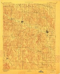
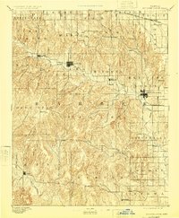
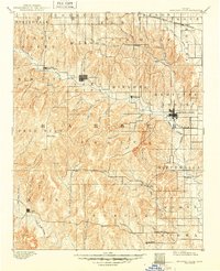
Medicine Lodge serves as the focal point for this late nineteenth-century survey of Barber County, where the Medicine Lodge River carves a path through the dissected plains of south-central Kansas. The landscape is defined by an intricate network of waterways like Big Sandy Creek, Mule Creek, and Driftwood Creek, which historically dictated the placement of early settlements. The industrial influence of the era is evident at Elm Mills on North Elm Creek, while the arrival of the Atchison Topeka and Santa Fe Railroad near Isabel and Medicine Lodge signals the region's integration into broader trade networks.
Find a feature on this map
67 named features on this map. Tap any name to fly to it.
Don’t see what you’re looking for? This feature index may not catch every label — zoom into the map to look around manually.
Map Details
Editions of this 1893 Medicine Lodge Map
5 editions found

Other maps of this area

1889 · Anthony
USGS Topo · 1:125,000

1889 · Kinsley
USGS Topo · 1:125,000

1891 · Medicine Lodge
USGS Topo · 1:125,000

1891 · Anthony
USGS Topo · 1:125,000

1892 · Kinsley
USGS Topo · 1:125,000

1892 · Kingman
USGS Topo · 1:125,000

1892 · Coldwater
USGS Topo · 1:125,000

1892 · Pratt
USGS Topo · 1:125,000

1894 · Kinsley
USGS Topo · 1:125,000

1894 · Kingman
USGS Topo · 1:125,000