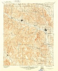
1893 Map of Medicine Lodge
USGS Topo · Published 1949About this map
Medicine Lodge serves as the focal point for this late nineteenth-century survey of Barber County, where the settlement patterns follow the drainages of the Medicine Lodge River and its numerous tributaries. Surveyed in 1890, the map illustrates a landscape of established townships and fledgling railroad connections, most notably the Atchison Topeka and Santa Fe Railroad threading through the northeast.
Find a feature on this map
61 named features on this map. Tap any name to fly to it.
Don’t see what you’re looking for? This feature index may not catch every label — zoom into the map to look around manually.
Map Details
Editions of this 1893 Medicine Lodge Map
5 editions found
Other maps of this area

1889 · Anthony
USGS Topo · 1:125,000

1889 · Kinsley
USGS Topo · 1:125,000

1891 · Medicine Lodge
USGS Topo · 1:125,000

1891 · Anthony
USGS Topo · 1:125,000

1892 · Kinsley
USGS Topo · 1:125,000

1892 · Kingman
USGS Topo · 1:125,000

1892 · Coldwater
USGS Topo · 1:125,000

1892 · Pratt
USGS Topo · 1:125,000

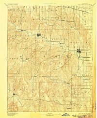
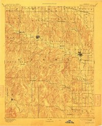
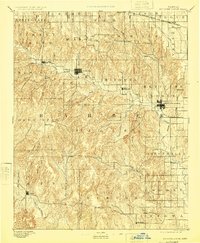
1893 · Medicine Lodge
USGS Topo · 1:125,000

1894 · Kinsley
USGS Topo · 1:125,000