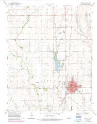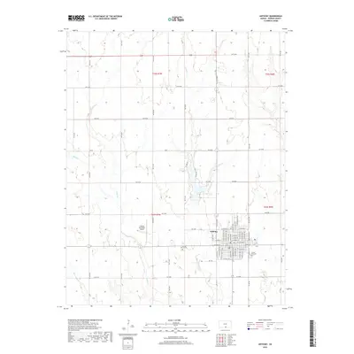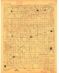
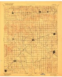
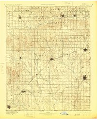
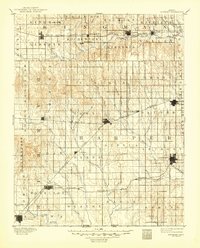
1891 Map of Anthony
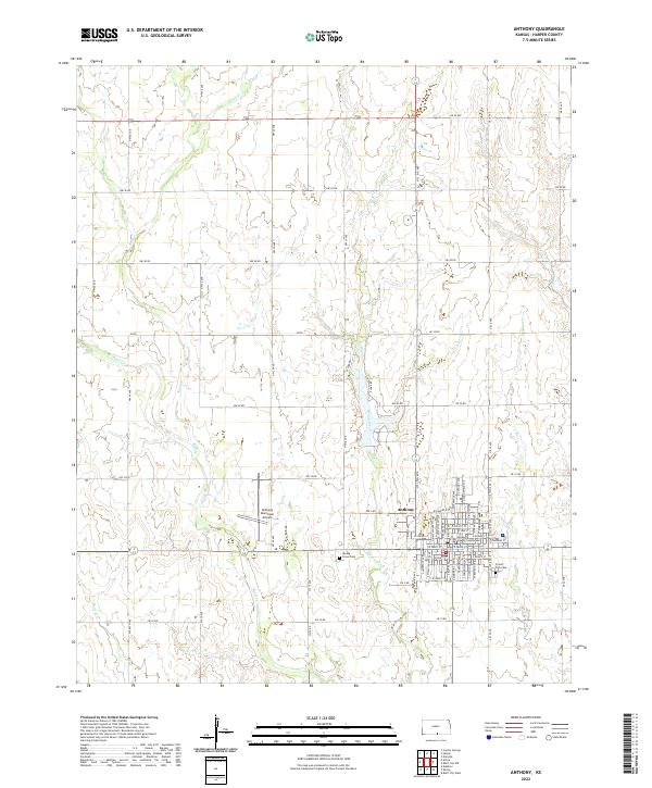
USGS Topo · Published 1896About this map
Anthony and Harper anchor the eastern edge of this late nineteenth-century survey, which documents the rapid expansion of railroads across the Kansas prairie. The terrain is defined by the drainage basins of the Chikaskia River in the north and the Medicine Lodge River in the southwest, with a dense network of tributaries like Bluff Creek and Sandy Creek carving through the landscape. This map captures a pivotal moment when the iron rail dictated the survival of rural centers, showing the Atchison Topeka and Santa Fe Railroad and the Missouri Pacific Railroad connecting scattered settlements such as Attica, Hazelton, and Nashville.
Find a feature on this map
73 named features on this map. Tap any name to fly to it.
Don’t see what you’re looking for? This feature index may not catch every label — zoom into the map to look around manually.
Map Details
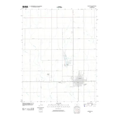
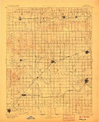
Editions of this 1891 Anthony Map
6 editions found

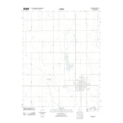
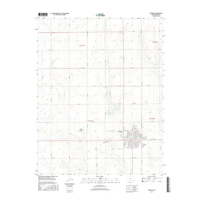
Historical Maps of Anthony Through Time
8 maps found