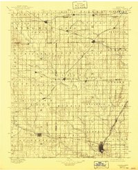
1889 Map of Caldwell
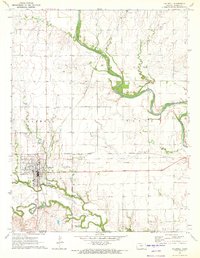
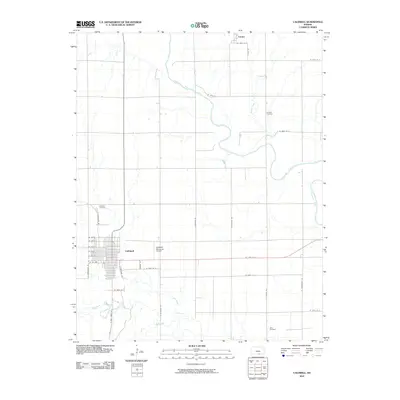
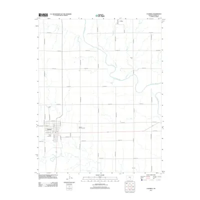
USGS Topo · Published 1957About this map
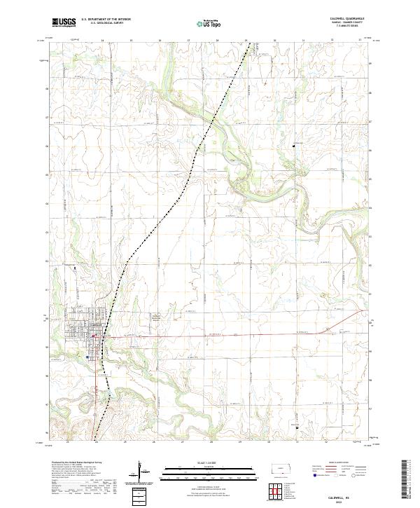
The Chikaskia River and Bluff Creek dominate this late-nineteenth-century landscape, illustrating a pivotal moment when the iron horse began to reshape the Kansas prairie. Numerous railway divisions, including the Missouri Pacific Railroad and the Atchison Topeka and Santa Fe Railroad, converge at emerging rail hubs like Caldwell and Conway Springs. These lines transformed once-isolated outposts such as Argonia, Norwich, and Danville into vital shipping points for the region's agricultural output.
Find a feature on this map
95 named features on this map. Tap any name to fly to it.
Don’t see what you’re looking for? This feature index may not catch every label — zoom into the map to look around manually.
Map Details
Editions of this 1889 Caldwell Map
This is the sole edition of this map. No revisions or reprints were ever made.
Historical Maps of Wichita Through Time
9 maps found