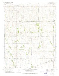
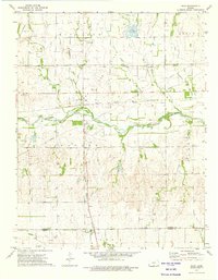
1973 Map of Crystal Springs
USGS Topo · Published 1975About this map
The Atchison Topeka and Santa Fe railroad cuts across the southern plains of Harper County, anchoring the small community of Crystal Springs (Eula Sta). This 1970s landscape is defined by the energy sector, featuring a sprawling Gas Field and a network of pipelines connected to a prominent Compressor Station in the north. The area's hydrology is dominated by the seasonal paths of Bluff Creek and its many tributaries, including the West Branch Bluff Creek, Middle Branch Bluff Creek, and East Branch Bluff Creek. Local infrastructure supporting the nearby population is visible through the Attica City Wells and the Crystal Springs Cem. Scattered industrial sites like a Sandpit and a Radio Tower punctuate the agricultural sections, while the township boundary of T W P 1 marks the jurisdictional layout of the terrain.
Find a feature on this map
17 named features on this map. Tap any name to fly to it.
Don’t see what you’re looking for? This feature index may not catch every label — zoom into the map to look around manually.
Map Details
Editions of this 1973 Crystal Springs Map
This is the sole edition of this map. No revisions or reprints were ever made.
Other maps of this area

1889 · Anthony
USGS Topo · 1:125,000

1891 · Anthony
USGS Topo · 1:125,000

1955 · Pratt
USGS Topo · 1:250,000

1959 · Pratt
USGS Topo · 1:250,000

1972 · Attica
USGS Topo · 1:24,000
1972 · Anthony
USGS Topo · 1:24,000

1972 · Crisfield
USGS Topo · 1:24,000
1973 · Spivey
USGS Topo · 1:24,000
1973 · Harper
USGS Topo · 1:24,000
1973 · Rago
USGS Topo · 1:24,000