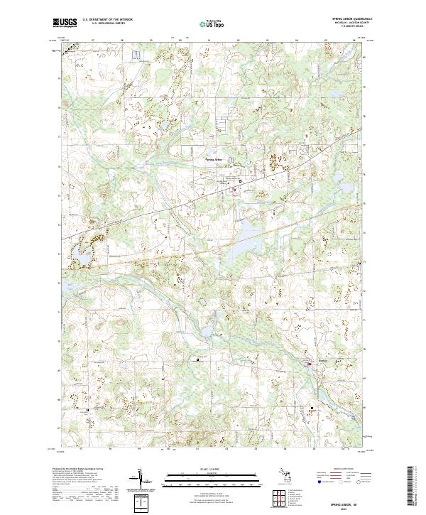
2023 Map of Spring Arbor
USGS Topo · Published 2023About this map
Spring Arbor serves as the central hub of this Jackson County landscape, dominated by the campus of Spring Arbor University. The terrain is defined by an intricate drainage network feeding into the North Branch Kalamazoo River, which winds through the southern portion of the quadrangle. Significant water features including Sandstone Creek, Indian Brook, and the Mill Pond highlight the importance of water management and local hydrology in this agricultural and academic community.
Find a feature on this map
76 named features on this map. Tap any name to fly to it.
Don’t see what you’re looking for? This feature index may not catch every label — zoom into the map to look around manually.
Map Details
Editions of this 2023 Spring Arbor Map
This is the sole edition of this map. No revisions or reprints were ever made.
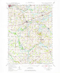
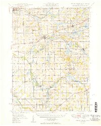
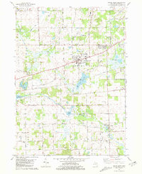
Historical Maps of Pulaski Township Through Time
4 maps found
Featured Locations
- Hanover Township, MI
- Spring Arbor Township, MI
- Horton, Hanover Township
- Spring Arbor, Spring Arbor Township
- Cross Mills, Spring Arbor Township