
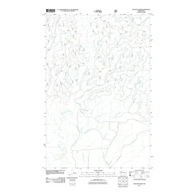
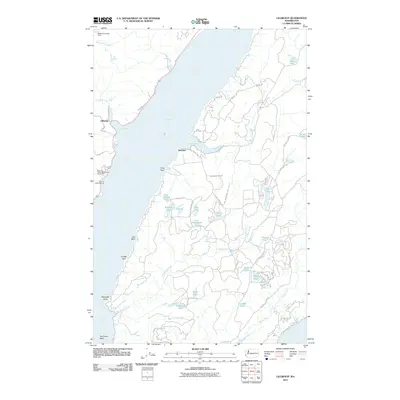
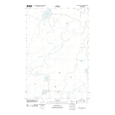
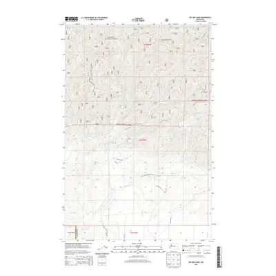
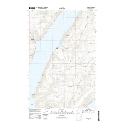
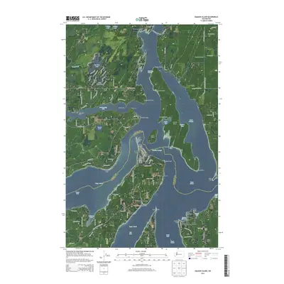
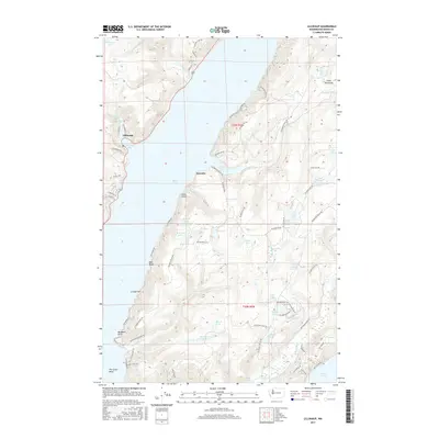
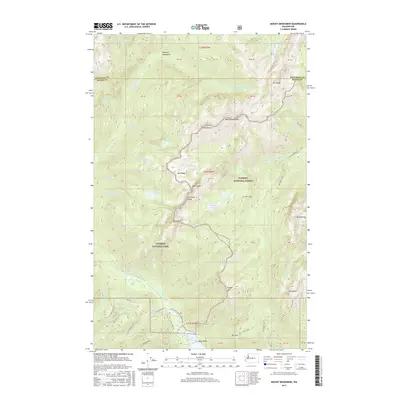
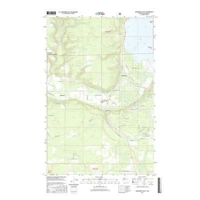
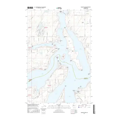
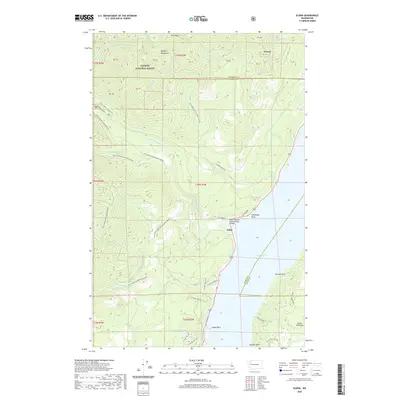
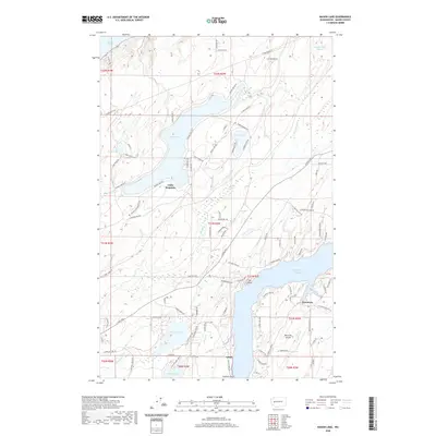
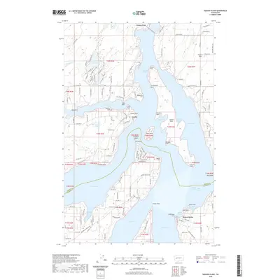
1997 Map of Squaxin Island
USGS Topo · Published 2003About this map
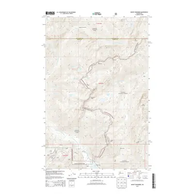
Squaxin Island and the intricate channels of southern Puget Sound define this landscape where Mason and Thurston counties meet. The map reveals a complex maritime geography, showing the Squaxin Island Indian Reservation and various state parks scattered across the forested peninsulas and islands. The settlement of Arcadia sits at the junction of Hammersley Inlet and Pickering Passage, while Boston Harbor anchors the southern edge near Budd Inlet.
Find a feature on this map
62 named features on this map. Tap any name to fly to it.
Don’t see what you’re looking for? This feature index may not catch every label — zoom into the map to look around manually.
Map Details
Editions of this 1997 Squaxin Island Map
This is the sole edition of this map. No revisions or reprints were ever made.
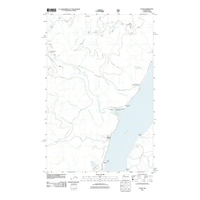
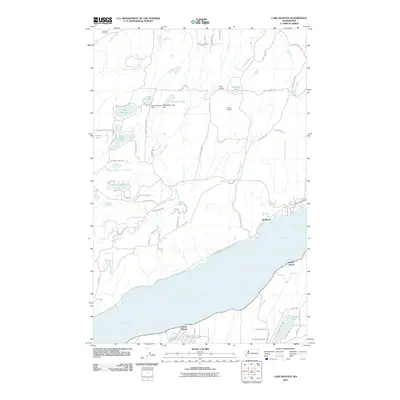
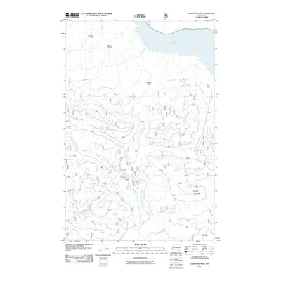
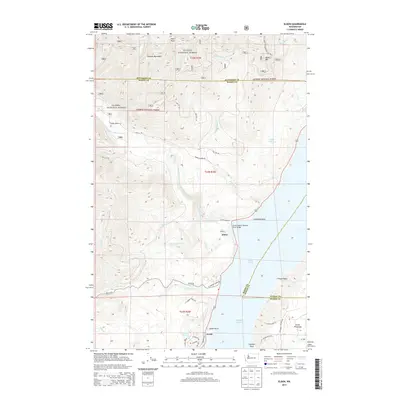
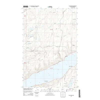
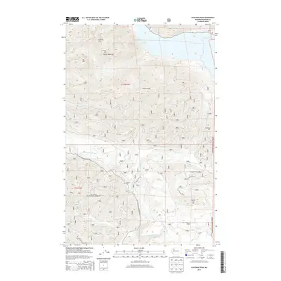
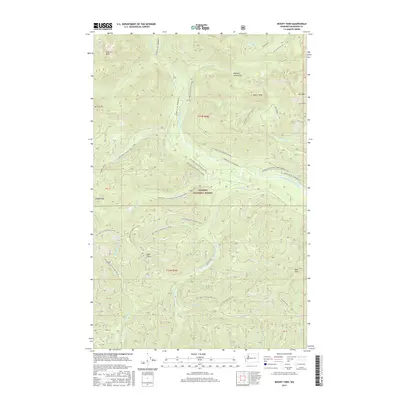
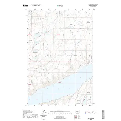
Historical Maps of Arcadia Through Time
103 maps found

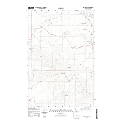
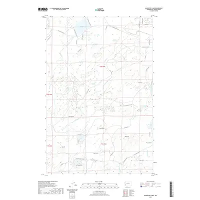
1943 Nahwatzel Lake
Mason County, WA

1943 Potlatch
Mason County, WA

1952 Potlatch
Mason County, WA

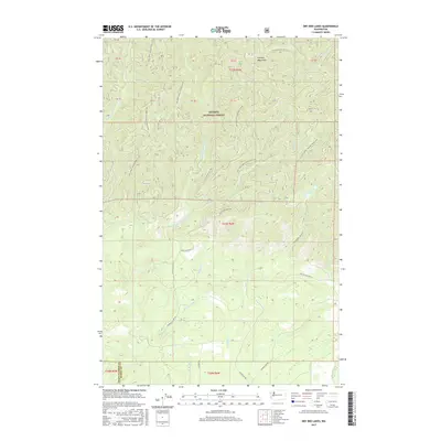
1953 Lake Wooten
Mason County, WA

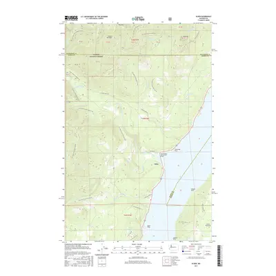
1953 Mason Lake
Mason County, WA

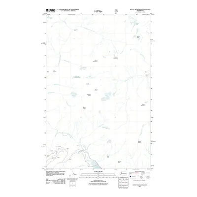
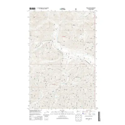
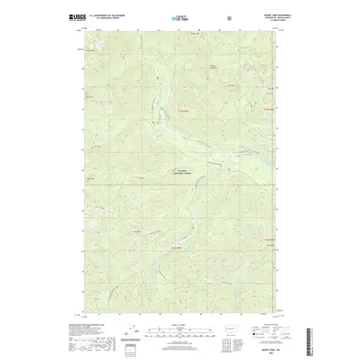
1953 Mt Tebo
Mason County, WA

1959 Squaxin Island
Mason County, WA

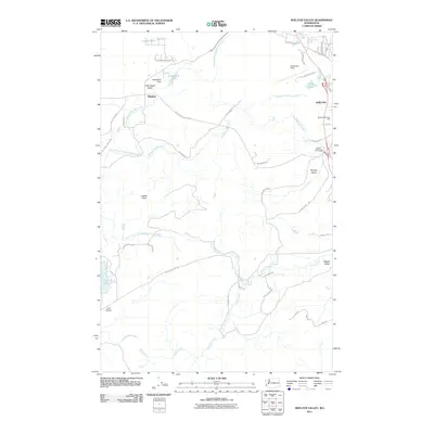
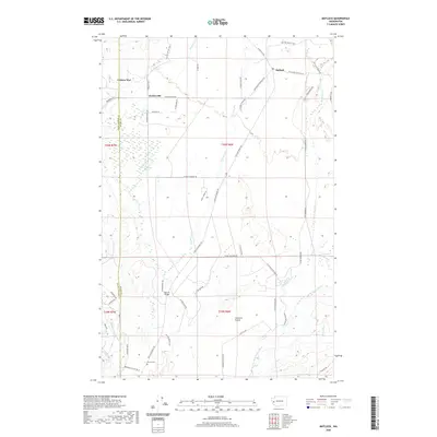
1981 Matlock
Mason County, WA

1981 Nahwatzel Lake
Mason County, WA

1985 Eldon
Mason County, WA

1985 Lilliwaup
Mason County, WA

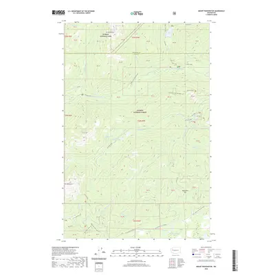
1985 Mt Washington
Mason County, WA

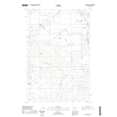
1986 Skokomish Valley
Mason County, WA

1990 Dry Bed Lakes
Mason County, WA

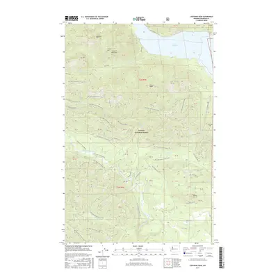
1990 Lightning Peak
Mason County, WA

1990 Mount Olson
Mason County, WA

1990 Mount Skokomish
Mason County, WA

1990 Mount Tebo
Mason County, WA

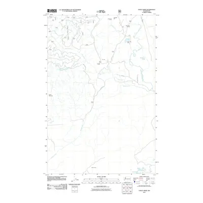
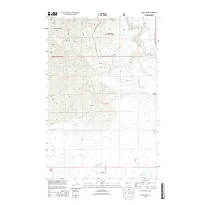
1990 Vance Creek
Mason County, WA

1997 Mason Lake
Mason County, WA
1997 Squaxin Island
Mason County, WA

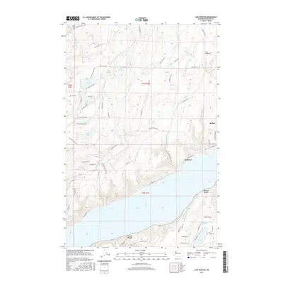
1999 Lake Wooten
Mason County, WA

1999 Mount Olson
Mason County, WA
2011 Dry Bed Lakes
Mason County, WA
2011 Eldon
Mason County, WA
2011 Lake Wooten
Mason County, WA
2011 Lightning Peak
Mason County, WA
2011 Lilliwaup
Mason County, WA
2011 Mason Lake
Mason County, WA
2011 Matlock
Mason County, WA
2011 Mount Olson
Mason County, WA
2011 Mount Skokomish
Mason County, WA
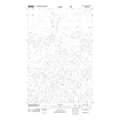
2011 Mount Tebo
Mason County, WA
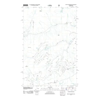
2011 Mount Washington
Mason County, WA
2011 Nahwatzel Lake
Mason County, WA
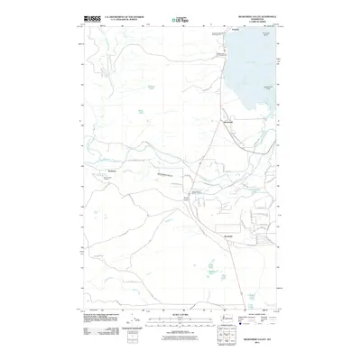
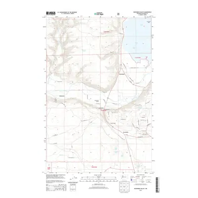
2011 Shelton Valley
Mason County, WA
2011 Skokomish Valley
Mason County, WA
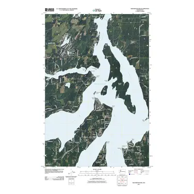
2011 Squaxin Island
Mason County, WA
2011 Vance Creek
Mason County, WA
2014 Dry Bed Lakes
Mason County, WA
2014 Eldon
Mason County, WA
2014 Lake Wooten
Mason County, WA
2014 Lightning Peak
Mason County, WA
2014 Lilliwaup
Mason County, WA
2014 Mason Lake
Mason County, WA
2014 Matlock
Mason County, WA
2014 Mount Olson
Mason County, WA
2014 Mount Skokomish
Mason County, WA
2014 Mount Tebo
Mason County, WA
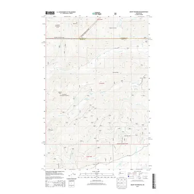
2014 Mount Washington
Mason County, WA
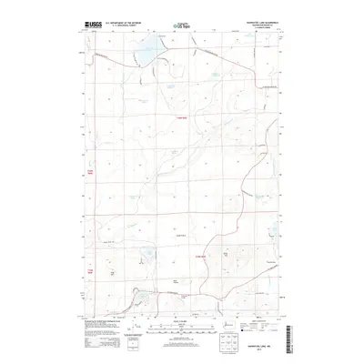
2014 Nahwatzel Lake
Mason County, WA
2014 Shelton Valley
Mason County, WA
2014 Skokomish Valley
Mason County, WA
2014 Squaxin Island
Mason County, WA
2014 Vance Creek
Mason County, WA
2017 Dry Bed Lakes
Mason County, WA
2017 Eldon
Mason County, WA
2017 Lake Wooten
Mason County, WA
2017 Lightning Peak
Mason County, WA
2017 Lilliwaup
Mason County, WA
2017 Mason Lake
Mason County, WA
2017 Matlock
Mason County, WA
2017 Mount Olson
Mason County, WA
2017 Mount Skokomish
Mason County, WA
2017 Mount Tebo
Mason County, WA
2017 Mount Washington
Mason County, WA
2017 Nahwatzel Lake
Mason County, WA

2017 Shelton Valley
Mason County, WA
2017 Skokomish Valley
Mason County, WA
2017 Squaxin Island
Mason County, WA
2017 Vance Creek
Mason County, WA
2020 Dry Bed Lakes
Mason County, WA
2020 Eldon
Mason County, WA
2020 Lake Wooten
Mason County, WA
2020 Lightning Peak
Mason County, WA
2020 Lilliwaup
Mason County, WA
2020 Mason Lake
Mason County, WA
2020 Matlock
Mason County, WA
2020 Mount Olson
Mason County, WA
2020 Mount Skokomish
Mason County, WA
2020 Mount Tebo
Mason County, WA
2020 Mount Washington
Mason County, WA
2020 Nahwatzel Lake
Mason County, WA
2020 Shelton Valley
Mason County, WA
2020 Skokomish Valley
Mason County, WA
2020 Squaxin Island
Mason County, WA
2020 Vance Creek
Mason County, WA

2023 Dry Bed Lakes
Mason County, WA

2023 Eldon
Mason County, WA

2023 Lake Wooten
Mason County, WA

2023 Lightning Peak
Mason County, WA

2023 Lilliwaup
Mason County, WA

2023 Mason Lake
Mason County, WA

2023 Matlock
Mason County, WA

2023 Mount Olson
Mason County, WA

2023 Mount Skokomish
Mason County, WA

2023 Mount Tebo
Mason County, WA

2023 Mount Washington
Mason County, WA

2023 Nahwatzel Lake
Mason County, WA

2023 Shelton Valley
Mason County, WA

2023 Skokomish Valley
Mason County, WA

2023 Squaxin Island
Mason County, WA

2023 Vance Creek
Mason County, WA