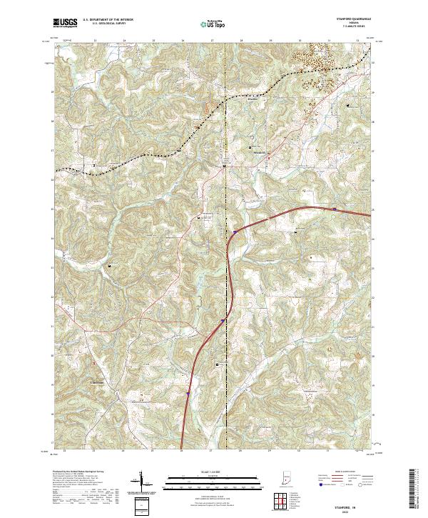
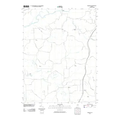
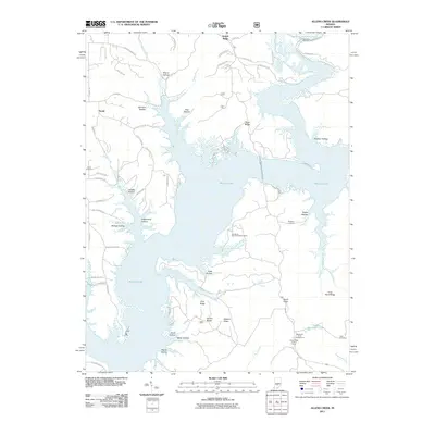
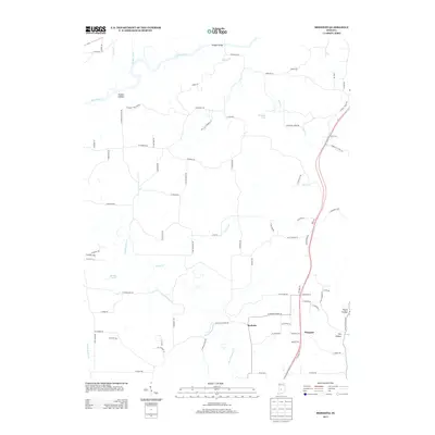
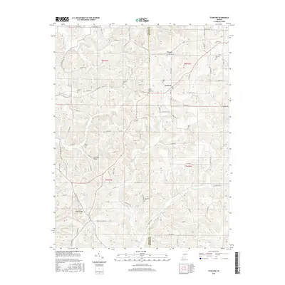
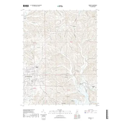
2022 Map of Stanford
USGS Topo · Published 2022About this map
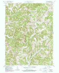
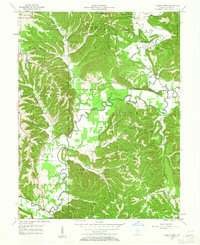
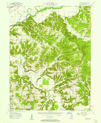
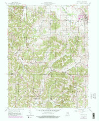
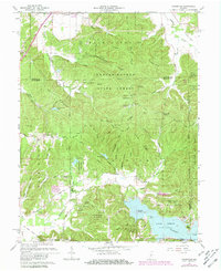
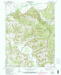
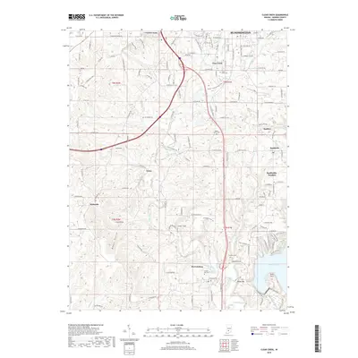
The borderlands of Greene Co and Monroe Co reveal a rural landscape defined by deep-set drainage systems and historic family burial grounds. The settlement of Stanford sits centrally, while Elwren to the north and Cincinnati to the south mark the primary nodes of habitation. This terrain is intricately dissected by the headwaters of Indian Creek and the winding course of Richland Creek, which shape the local road network into a series of ridge-top paths and valley crossings.
Find a feature on this map
111 named features on this map. Tap any name to fly to it.
Don’t see what you’re looking for? This feature index may not catch every label — zoom into the map to look around manually.
Map Details
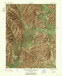
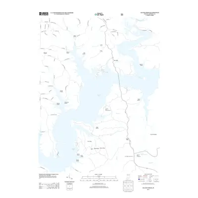
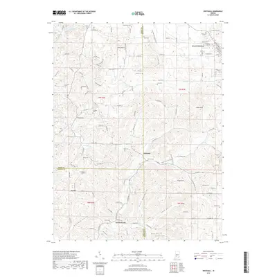
Editions of this 2022 Stanford Map
This is the sole edition of this map. No revisions or reprints were ever made.
Historical Maps of Cincinnati Through Time
54 maps found
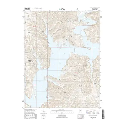
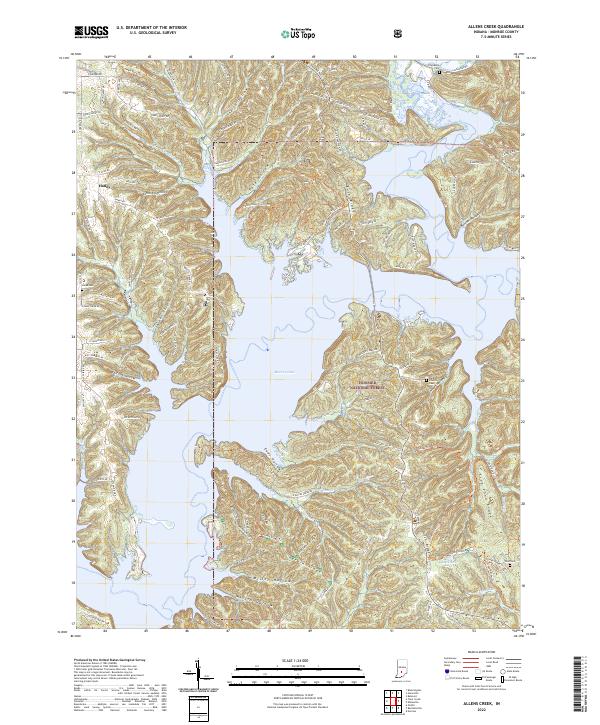
1947 Allens Creek
Monroe County, IN
1947 Unionville
Monroe County, IN
1948 Hindustan
Monroe County, IN

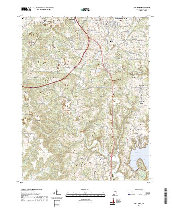
1956 Clear Creek
Monroe County, IN
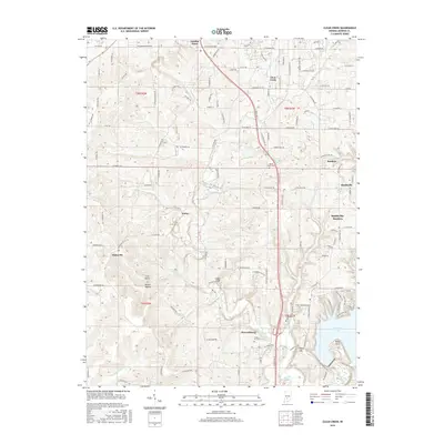
1956 Stanford
Monroe County, IN
1957 Allens Creek
Monroe County, IN
1957 Modesto
Monroe County, IN

1957 Unionville
Monroe County, IN
1957 Whitehall
Monroe County, IN
1961 Hindustan
Monroe County, IN
1965 Clear Creek
Monroe County, IN
1966 Allens Creek
Monroe County, IN
1966 Unionville
Monroe County, IN
1970 Modesto
Monroe County, IN

1998 Hindustan
Monroe County, IN

1998 Modesto
Monroe County, IN

1998 Unionville
Monroe County, IN
1998 Whitehall
Monroe County, IN

1999 Clear Creek
Monroe County, IN
2010 Clear Creek
Monroe County, IN
2010 Hindustan
Monroe County, IN
2010 Modesto
Monroe County, IN
2010 Stanford
Monroe County, IN
2010 Unionville
Monroe County, IN
2010 Whitehall
Monroe County, IN
2011 Allens Creek
Monroe County, IN
2013 Allens Creek
Monroe County, IN
2013 Clear Creek
Monroe County, IN
2013 Hindustan
Monroe County, IN
2013 Modesto
Monroe County, IN
2013 Stanford
Monroe County, IN
2013 Unionville
Monroe County, IN
2013 Whitehall
Monroe County, IN
2016 Allens Creek
Monroe County, IN
2016 Clear Creek
Monroe County, IN
2016 Hindustan
Monroe County, IN
2016 Modesto
Monroe County, IN
2016 Stanford
Monroe County, IN
2016 Unionville
Monroe County, IN
2016 Whitehall
Monroe County, IN
2019 Allens Creek
Monroe County, IN
2019 Clear Creek
Monroe County, IN
2019 Hindustan
Monroe County, IN
2019 Modesto
Monroe County, IN
2019 Stanford
Monroe County, IN
2019 Unionville
Monroe County, IN
2019 Whitehall
Monroe County, IN
2022 Allens Creek
Monroe County, IN
2022 Clear Creek
Monroe County, IN
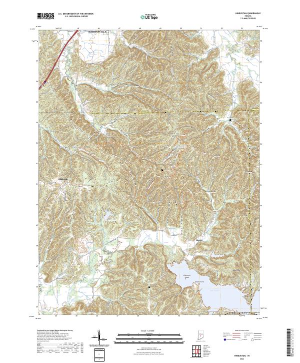
2022 Hindustan
Monroe County, IN

2022 Modesto
Monroe County, IN
2022 Stanford
Monroe County, IN
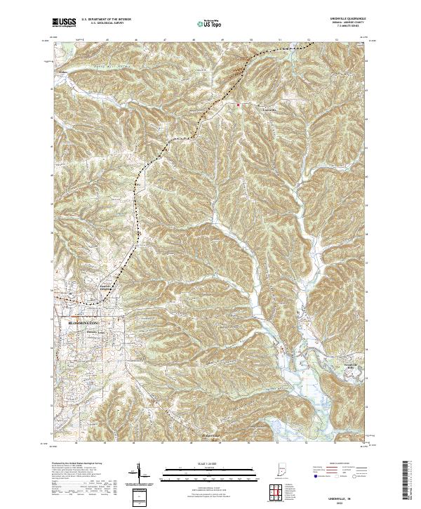
2022 Unionville
Monroe County, IN
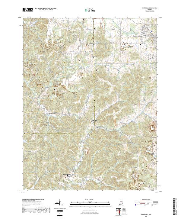
2022 Whitehall
Monroe County, IN