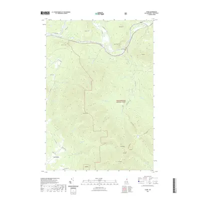
2021 Map of Stark
USGS Topo · Published 2021About this map
The Upper Ammonoosuc River carves a narrow corridor through the northern edge of this landscape, supporting the historic settlements of Stark and Percy. While the river valley hosts the primary infrastructure of Rte 110 and the Village Cem, the vast majority of the territory is defined by the high peaks of the White Mountain National Forest. Steep ridges such as Devils Slide and Hutchins Mtn dominate the center, giving way to the Pilot Range and Mt Cabot in the southeast. In the southwest corner, the curiously named Lost Nation locality sits near an Abandoned Town Rd, suggesting the remnants of early mountain settlement. Numerous hiking routes including the Kilkenny Ridge Trl and Stark Snomo Trl traverse the wilderness, connecting remote water bodies like Unknown Pond to the lower elevations.
Find a feature on this map
49 named features on this map. Tap any name to fly to it.
Don’t see what you’re looking for? This feature index may not catch every label — zoom into the map to look around manually.
Map Details
Editions of this 2021 Stark Map
This is the sole edition of this map. No revisions or reprints were ever made.
Other maps of this area

1893 · Mt. Washington
USGS Topo · 1:62,500

1896 · Mt. Washington
USGS Topo · 1:62,500

1900 · Whitefield
USGS Topo · 1:62,500

1920 · Guildhall
USGS Topo · 1:62,500

1930 · Percy
USGS Topo · 1:62,500

1931 · Guildhall
USGS Topo · 1:48,000

1933 · Guildhall
USGS Topo · 1:48,000

1934 · Percy
USGS Topo · 1:62,500

1935 · Whitefield
USGS Topo · 1:48,000

1935 · Mt. Washington
USGS Topo · 1:62,500