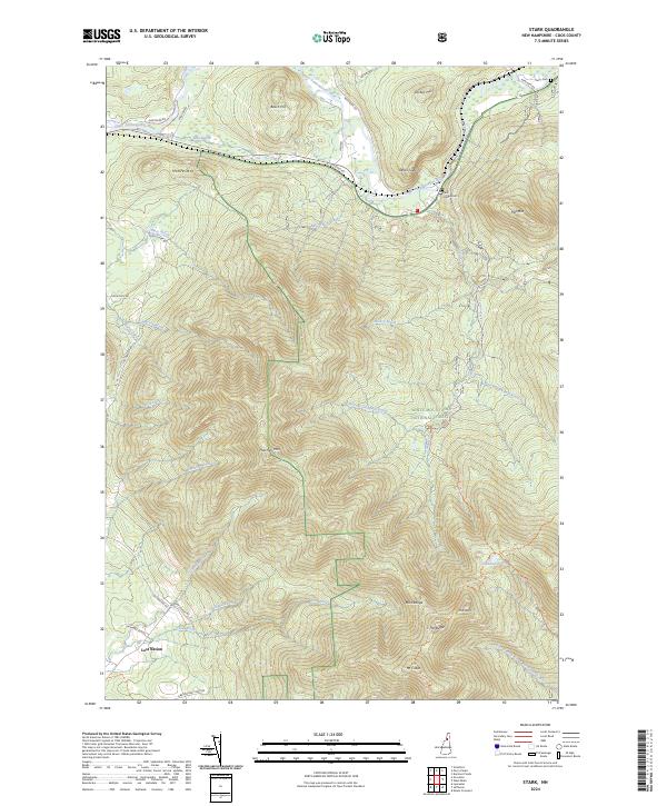
2024 Map of Stark
USGS Topo · Published 2024About this map
The Upper Ammonoosuc River carves a path through the northern landscape of Coos County, anchoring the small settlement of Stark and the nearby Stark Village Cem. This area is defined by sharp elevation changes, where the steep faces of Devils Slide and Mill Mtn overlook the river valley. Much of the southern and central terrain is protected within the White Mountain National Forest, a region marked by the peaks of the Pilot Range, including Mt Cabot, The Horn, and The Bulge.
Find a feature on this map
48 named features on this map. Tap any name to fly to it.
Don’t see what you’re looking for? This feature index may not catch every label — zoom into the map to look around manually.
Map Details
Editions of this 2024 Stark Map
This is the sole edition of this map. No revisions or reprints were ever made.
Other maps of this area

1893 · Mt. Washington
USGS Topo · 1:62,500

1896 · Mt. Washington
USGS Topo · 1:62,500

1900 · Whitefield
USGS Topo · 1:62,500

1920 · Guildhall
USGS Topo · 1:62,500

1930 · Percy
USGS Topo · 1:62,500

1931 · Guildhall
USGS Topo · 1:48,000

1933 · Guildhall
USGS Topo · 1:48,000

1934 · Percy
USGS Topo · 1:62,500

1935 · Whitefield
USGS Topo · 1:48,000

1935 · Mt. Washington
USGS Topo · 1:62,500