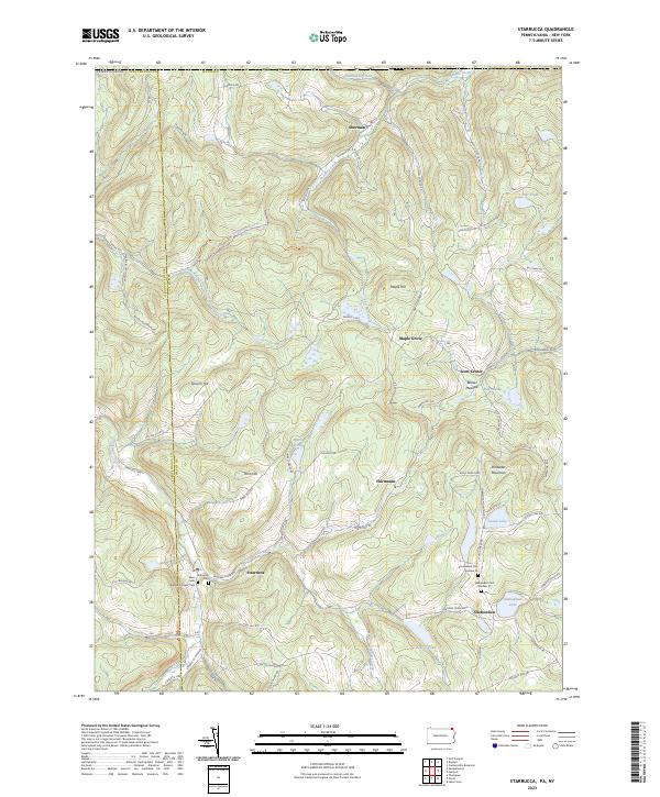
2023 Map of Starrucca
USGS Topo · Published 2023About this map
The borough of Starrucca and the village of Shehawken anchor this pocket of Wayne County, where the landscape is defined by the winding valley of Starrucca Creek. The transition from industrial railroading to recreational use is evident in the D&H Rail-Trl, which follows the old Delaware and Hudson alignment through the southwestern corner. Higher elevations like Slocum Hill and Shrawder Mountain rise above the drainage basins of Merrigan Creek and Shadigee Creek, shaping a topography of isolated ridges and upland marshes like Pine Swamp. For those tracing local families, the map identifies several distinct burial grounds, including the Saint Pauls Roman Catholic Cem and two numbered sites for the Shehawken Cem. Smaller settlements such as Scott Center and Fairmount appear at key crossroads, connected by a network of rural routes like Dixie Hwy and Scott Center Rd.
Find a feature on this map
73 named features on this map. Tap any name to fly to it.
Don’t see what you’re looking for? This feature index may not catch every label — zoom into the map to look around manually.
Map Details
Editions of this 2023 Starrucca Map
This is the sole edition of this map. No revisions or reprints were ever made.
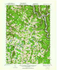
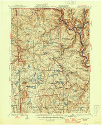
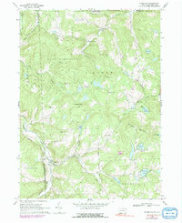
Historical Maps of Harmony Township Through Time
6 maps found