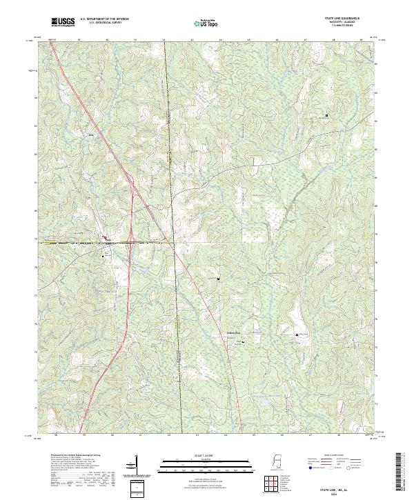
2024 Map of State Line
USGS Topo · Published 2024About this map
The Escatawpa River system forms the geographic heart of this borderlands region, where the town of State Line straddles the boundary between Wayne County and Greene County in Mississippi, just west of the Alabama line. This modern topographic study reveals a landscape defined by industrial forestry and quiet rural settlements. Named for its position on the interstate divide, the town is surrounded by a network of family and community landmarks, including the State Line Cem and nearby Union Cem.
Find a feature on this map
91 named features on this map. Tap any name to fly to it.
Don’t see what you’re looking for? This feature index may not catch every label — zoom into the map to look around manually.
Map Details
Editions of this 2024 State Line Map
This is the sole edition of this map. No revisions or reprints were ever made.