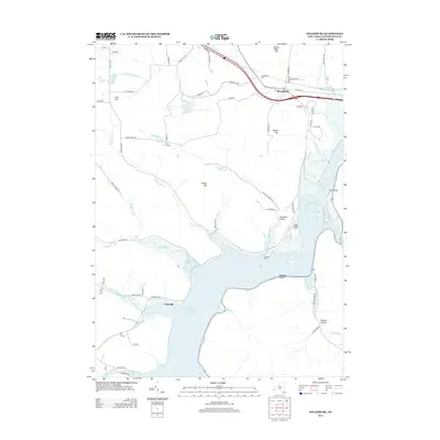
2013 Map of Steamburg
USGS Topo · Published 2013About this map
Allegheny Reservoir dominates the southern landscape of this Cattaraugus County region, where the flooded valley of the Allegheny River has fundamentally altered the local geography. The map illustrates a transition from the elevated peaks like Braley Hill and High Peak to the broad waters that now cover former valley floor settlements. Remaining hubs like Steamburg, with its Steamburg Cem and local post office, serve as modern anchors for a community defined by its proximity to the water and the surrounding rugged highlands.
Find a feature on this map
68 named features on this map. Tap any name to fly to it.
Don’t see what you’re looking for? This feature index may not catch every label — zoom into the map to look around manually.
Map Details
Editions of this 2013 Steamburg Map
This is the sole edition of this map. No revisions or reprints were ever made.
Other maps of this area

1905 · Jamestown
USGS Topo · 1:62,500

1906 · Warren
USGS Topo · 1:62,500

1907 · Warren
USGS Topo · 1:62,500

1908 · Warren
USGS Topo · 1:62,500

1922 · Randolph
USGS Topo · 1:62,500

1923 · Randolph
USGS Topo · 1:62,500

1936 · Kinzua
USGS Topo · 1:48,000

1941 · Kinzua
USGS Topo · 1:62,500

1942 · Jamestown
USGS Topo · 1:62,500

1943 · Randolph
USGS Topo · 1:62,500