Loading...
Loading map...2023 Map of Sterling
USGS Topo · Published 2023About this map
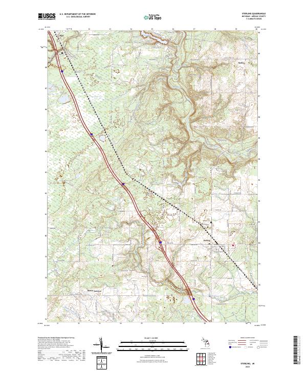
Sterling serves as the primary hub of this Arenac County landscape, where the local road network converges near the Saint George Cem. To the north, the community of Alger sits along the western edge, marked by the Alger Cem and nearby Wells Creek. The geography is defined by a dense system of waterways, including the winding Rifle River and its various tributaries like Richter Creek and Bear Creek.
Find a feature on this map
75 named features on this map. Tap any name to fly to it.
Don’t see what you’re looking for? This feature index may not catch every label — zoom into the map to look around manually.
Map Details
Date Portrayed2023
Date Published2023
PublisherU.S. Geological Survey
Map TypeTopographic
Scale1:24000
Physical Dimensions24 x 29 inches
Editions of this 2023 Sterling Map
This is the sole edition of this map. No revisions or reprints were ever made.
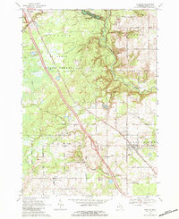
Historical Maps of Moffatt Township Through Time
Featured Locations
- Clayton Township, MI
- Deep River Township, MI
- Melita, Clayton Township
- Sterling, Deep River Township
- Morres Junction, Adams Township
Source Details
SourceU.S. Geological Survey
CopyrightPublic Domain