
1981 Map of Stonehouse Ranch NW
USGS Topo · Published 1982About this map
Gracie Flats dominates the southeastern portion of this landscape, illustrating the open rangeland and sparse settlement patterns of the Nebraska Sandhills. Surveyed in the early 1980s, the map highlights a rural economy centered on established family holdings such as Davis Ranch, Schubert Ranch, and Swinney Ranch. These named homesteads provide a clear window into the local genealogy of Rock County, identifying the primary landholders of the era. Cultural life for these isolated ranching families is anchored by the Rose Ch and the nearby Rose Hill Cem, which serve as the only community landmarks in an otherwise open terrain. The mapping detail even includes fine red dashed lines for selected fence and field lines, offering researchers a granular look at late-twentieth-century land management and property boundaries.
Find a feature on this map
11 named features on this map. Tap any name to fly to it.
Don’t see what you’re looking for? This feature index may not catch every label — zoom into the map to look around manually.
Map Details
Editions of this 1981 Stonehouse Ranch NW Map
This is the sole edition of this map. No revisions or reprints were ever made.
Other maps of this area

1955 · O'Neill
USGS Topo · 1:250,000

1959 · O'Neill
USGS Topo · 1:250,000

1969 · O'Neill
USGS Topo · 1:250,000

1981 · Stonehouse Ranch NE
USGS Topo · 1:24,000
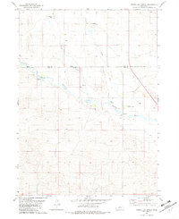
1981 · Shovel Dot Ranch
USGS Topo · 1:24,000
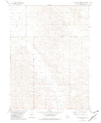
1981 · Stonehouse Ranch
USGS Topo · 1:24,000
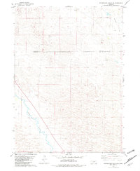
1981 · Stonehouse Ranch SW
USGS Topo · 1:24,000

1981 · Rose
USGS Topo · 1:24,000

1982 · Stockdale Lake
USGS Topo · 1:24,000

1982 · Sybrant
USGS Topo · 1:24,000