Loading...
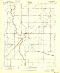
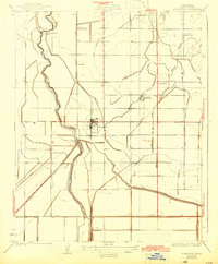
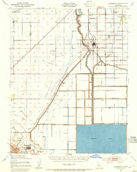
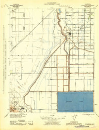
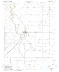
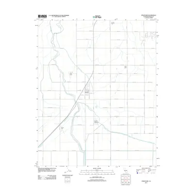
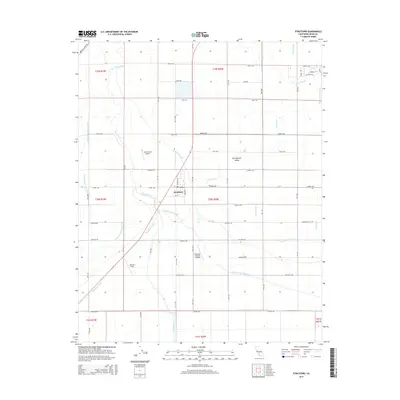
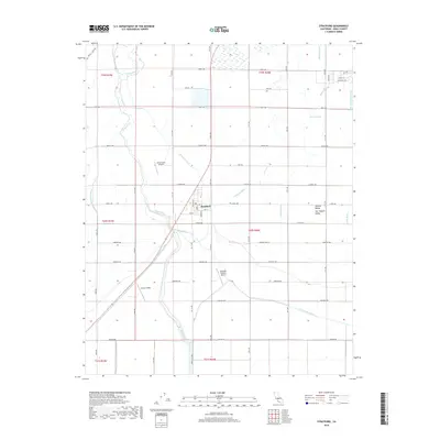
Loading map...1950 Map of Stratford
USGS Topo · Published 1950About this map
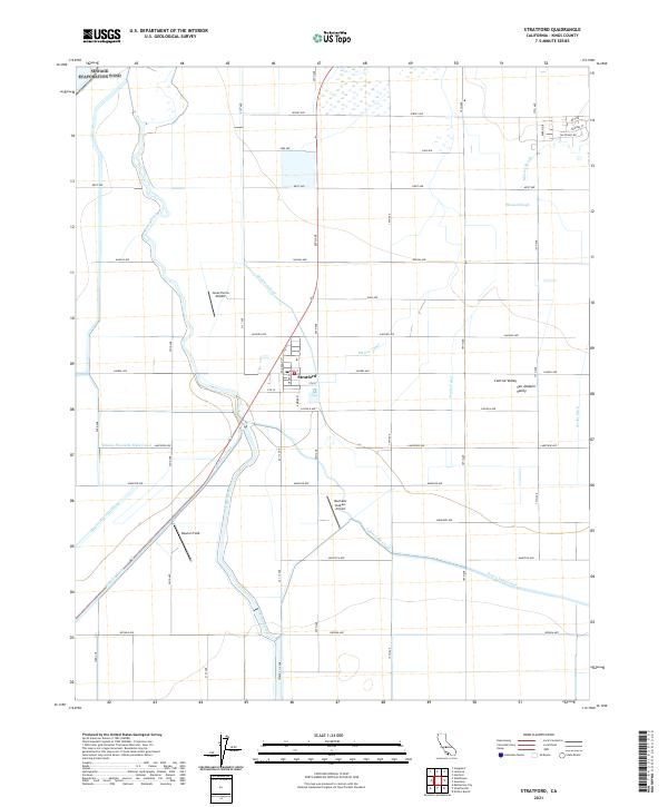
Stratford serves as the central hub for this Kings County landscape, which by 1950 had become a complex network of water management and irrigation systems. The Kings River flows through the western portion of the sheet, controlled by the Upper Stratford Weir and Lower Stratford Weir. This hydrological infrastructure, featuring the Empire Canal, Jacobs Canal, and Tulare Lake Canal, reveals the intensive agricultural transformation of the Central Valley.
Find a feature on this map
21 named features on this map. Tap any name to fly to it.
Don’t see what you’re looking for? This feature index may not catch every label — zoom into the map to look around manually.
Map Details
Date Portrayed1950
Date Published1950
PublisherU.S. Geological Survey
Map TypeTopographic
Scale1:24,000
Physical Dimensions21.9 x 26.8 inches
Editions of this 1950 Stratford Map
This is the sole edition of this map. No revisions or reprints were ever made.
Historical Maps of Stratford Through Time
9 maps found
Featured Locations
Source Details
SourceU.S. Geological Survey
CopyrightPublic Domain