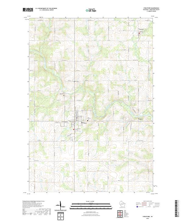
1963 Map of Stratford
USGS Topo · Published 1964About this map
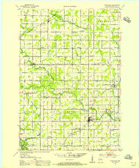
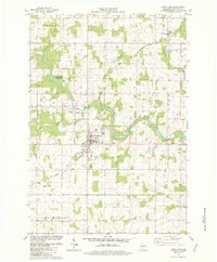
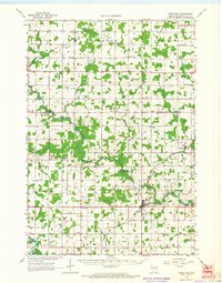
Stratford serves as the focal point of this 1960s agricultural and river landscape, where the Big Eau Pleine River and Chicago and North Western railroad converge. The map documents a transition from the larger settlement at Stratford to a network of smaller communities and crossroads such as March Rapids, Milan, and Fenwood. This era shows a well-established rural social infrastructure, marked by numerous local institutions like St Adalbert Ch, Peace Cem Ch, and Dixon Sch, many of which were central to the identity of the surrounding townships.
Find a feature on this map
61 named features on this map. Tap any name to fly to it.
Don’t see what you’re looking for? This feature index may not catch every label — zoom into the map to look around manually.
Map Details
Editions of this 1963 Stratford Map
This is the sole edition of this map. No revisions or reprints were ever made.
Historical Maps of McMillan Through Time
4 maps found