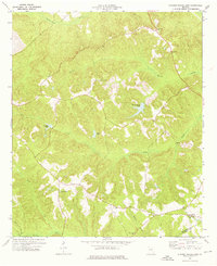
1974 Map of Stuckey Boone Lake
USGS Topo · Published 1976About this map
The boundary line between Wilkinson County and Laurens County defines the southern portion of this mid-1970s landscape, a region where community life centers on a network of country churches. Small rural congregations are found at Wesley Ch, Mt Olive Springs Ch, and Red Level Ch, marking nodes of local heritage near the settlement of Cooktown. The terrain is deeply etched by a system of waterways including Maiden Creek and Cedar Creek, which feed into larger bodies of water such as Stuckey Boone Lake. The distribution of these landmarks reflects a typical Middle Georgia rural pattern, where scattered homesteads and timberlands are connected by winding roads that follow the high ridges between creek basins like Buck Creek and Walnut Creek.
Find a feature on this map
21 named features on this map. Tap any name to fly to it.
Don’t see what you’re looking for? This feature index may not catch every label — zoom into the map to look around manually.
Map Details
Editions of this 1974 Stuckey Boone Lake Map
This is the sole edition of this map. No revisions or reprints were ever made.
Historical Maps of Cooktown Through Time
8 maps found

1973 Massey Hill
Wilkinson County, GA
1973 Napier Pond
Wilkinson County, GA
1974 Nicklesville
Wilkinson County, GA
1974 Stuckey Boone Lake
Wilkinson County, GA
2024 Massey Hill
Wilkinson County, GA
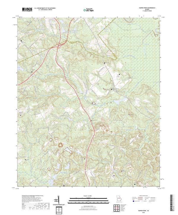
2024 Napier Pond
Wilkinson County, GA
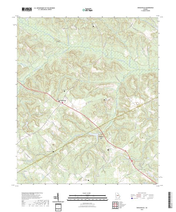
2024 Nicklesville
Wilkinson County, GA
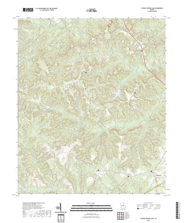
2024 Stuckey Boone Lake
Wilkinson County, GA