
1964 Map of Sulphur Springs
USGS Topo · Published 1968About this map
Sulphur Springs serves as the focal point of this 1960s study, showing the city's infrastructure just as it began expanding beyond its traditional rail-oriented core. The St Louis Southwestern railroad corridor remains a dominant feature, anchoring industrial and municipal sites like the Filtration Plant and Sewage Disposal. A dense network of community institutions defines the local landscape, including several segregated era landmarks such as Douglas High Sch, alongside numerous neighborhood schools like Houston Sch and Travis Sch.
Find a feature on this map
41 named features on this map. Tap any name to fly to it.
Don’t see what you’re looking for? This feature index may not catch every label — zoom into the map to look around manually.
Map Details
Editions of this 1964 Sulphur Springs Map
This is the sole edition of this map. No revisions or reprints were ever made.
Other maps of this area

1953 · Texarkana
USGS Topo · 1:250,000

1956 · Texarkana
USGS Topo · 1:250,000

1962 · Sulphur Bluff
USGS Topo · 1:24,000

1962 · Brashear
USGS Topo · 1:24,000

1964 · Como
USGS Topo · 1:24,000

1964 · Gafford Chapel
USGS Topo · 1:24,000

1964 · Tira
USGS Topo · 1:24,000
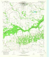
1964 · Cooper South
USGS Topo · 1:24,000
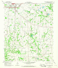
1964 · Sulphur Springs SE
USGS Topo · 1:24,000
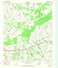
1965 · Dike
USGS Topo · 1:24,000