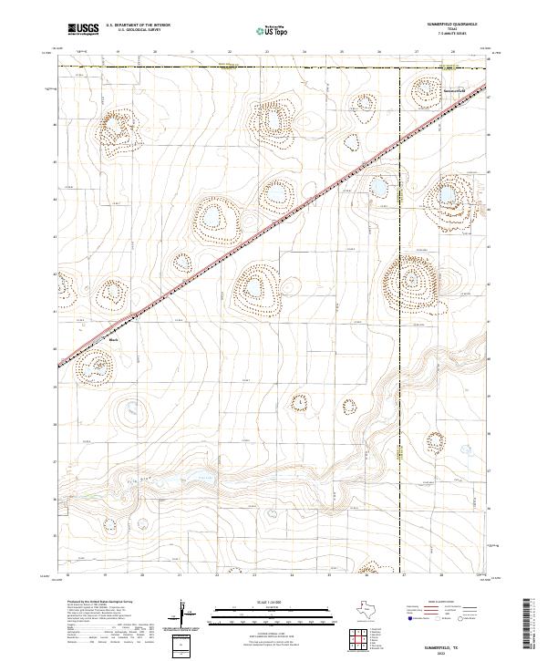
2022 Map of Summerfield
USGS Topo · Published 2022About this map
The High Plains of the Texas Panhandle converge at the tri-county junction of Deaf Smith, Castro, and Parmer counties, where the small community of Summerfield anchors the landscape. A diagonal corridor follows the Railroad Rd and state highway, connecting the local grain-handling facilities and rail-oriented economy between Black and the northeast corner of the sheet. The terrain is marked by the subtle depression of Frio Draw, which winds through the southern portion of the quadrangle, and the presence of Frye Lake, illustrating the characteristic playa lake drainage patterns of the Llano Estacado. This 2022 survey captures the grid-like precision of the regional road network, from Fm 1172 to Fm 1057, documenting the persistent agricultural structure of these rural Panhandle settlements where cattle and crops remain the primary drivers of the landscape.
Find a feature on this map
37 named features on this map. Tap any name to fly to it.
Don’t see what you’re looking for? This feature index may not catch every label — zoom into the map to look around manually.
Map Details
Editions of this 2022 Summerfield Map
This is the sole edition of this map. No revisions or reprints were ever made.
Other maps of this area

1954 · Clovis
USGS Topo · 1:250,000

1958 · Clovis
USGS Topo · 1:250,000

1965 · Dimmitt SW
USGS Topo · 1:24,000

1965 · Tam Anne
USGS Topo · 1:24,000

1965 · Hub
USGS Topo · 1:24,000

1966 · Friona
USGS Topo · 1:24,000

1966 · Easter
USGS Topo · 1:24,000

1966 · Summerfield
USGS Topo · 1:24,000

1970 · Chalk Hill
USGS Topo · 1:24,000

1970 · Hereford
USGS Topo · 1:24,000