
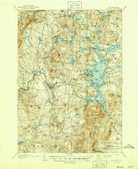
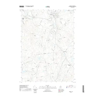
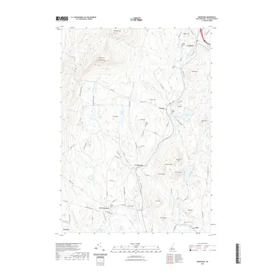
1905 Map of Sunapee
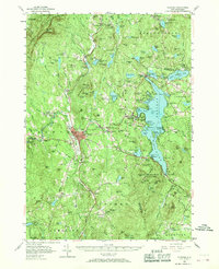
USGS Topo · Published 1947About this map
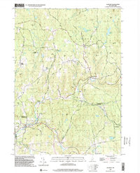
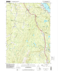
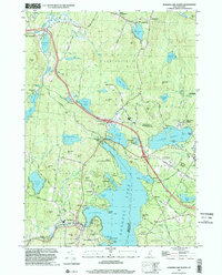
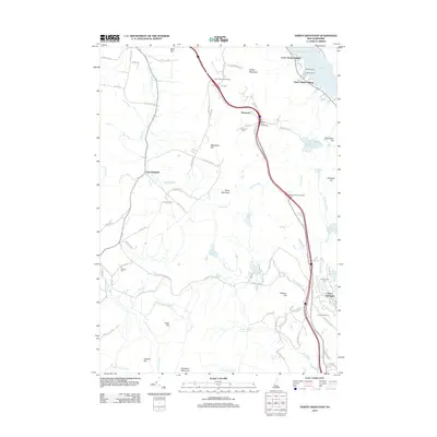
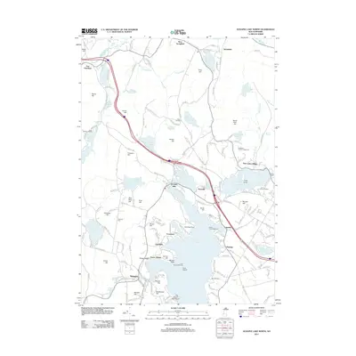
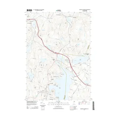
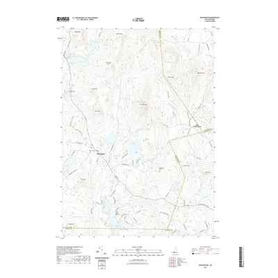
Lake Sunapee dominates this central New Hampshire landscape, serving as a hub for both transportation and leisure at the turn of the century. The map traces a dedicated Steamboat Route across the water, connecting points like Sunapee Harbor, Hastings, and Blodgett Landing. This aquatic network is complemented on land by the Boston and Maine RR, which skirts the southern and western edges, passing through the manufacturing center of Newport and the Mt Sunapee Chandler-ville PO.
Find a feature on this map
122 named features on this map. Tap any name to fly to it.
Don’t see what you’re looking for? This feature index may not catch every label — zoom into the map to look around manually.
Map Details
Editions of this 1905 Sunapee Map
This is the sole edition of this map. No revisions or reprints were ever made.
Historical Maps of Newport Through Time
61 maps found

1902 Sunapee
Sullivan County, NH
1905 Sunapee
Sullivan County, NH
1907 Sunapee
Sullivan County, NH
1955 Sunapee
Sullivan County, NH

1984 Lovewell Mountain
Sullivan County, NH
1984 Newport
Sullivan County, NH
1984 Sunapee
Sullivan County, NH
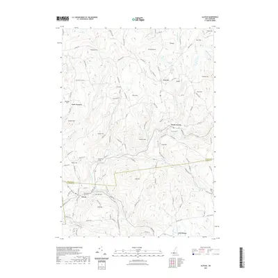
1998 Alstead
Sullivan County, NH
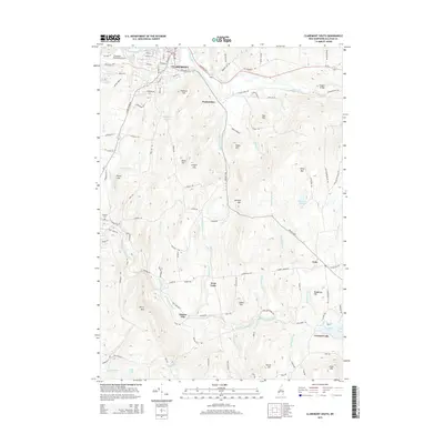
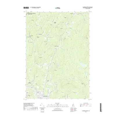
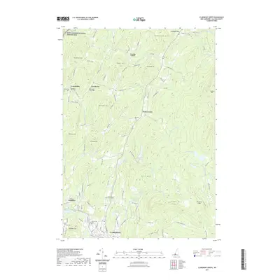
1998 Claremont North
Sullivan County, NH
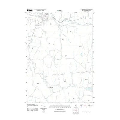
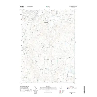
1998 Claremont South
Sullivan County, NH

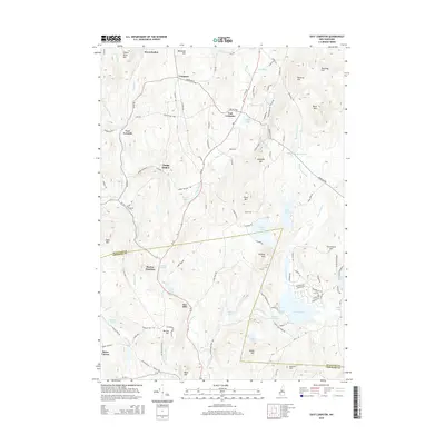
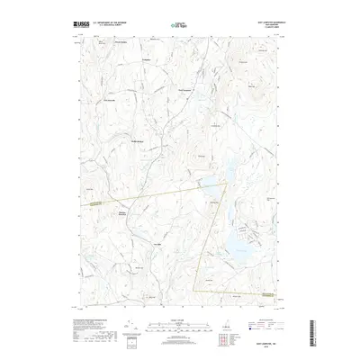
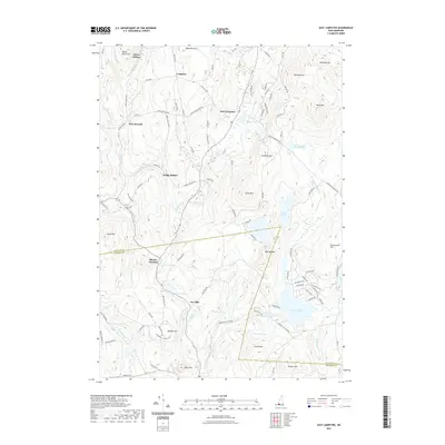
1998 East Lempster
Sullivan County, NH

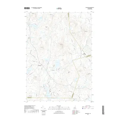
1998 Grantham
Sullivan County, NH
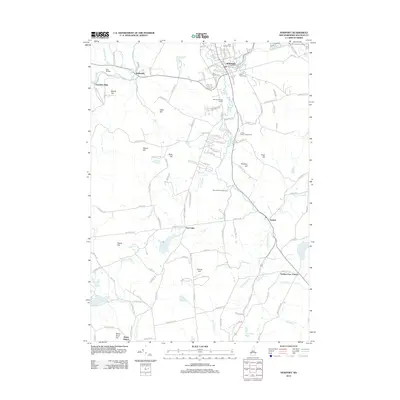
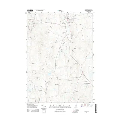
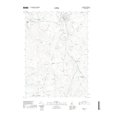
1998 Newport
Sullivan County, NH
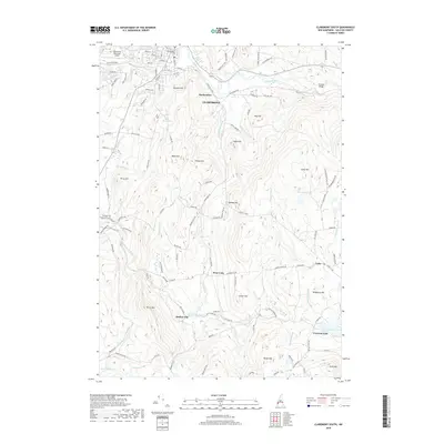
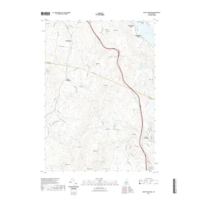
1998 North Grantham
Sullivan County, NH
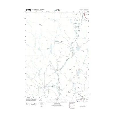
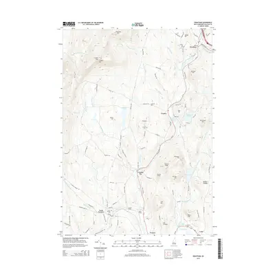
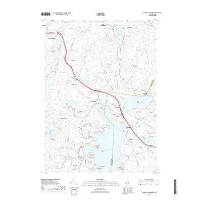
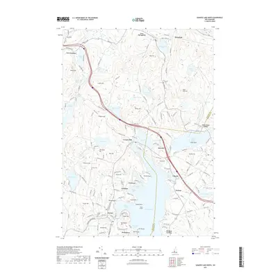
1998 Sunapee Lake North
Sullivan County, NH

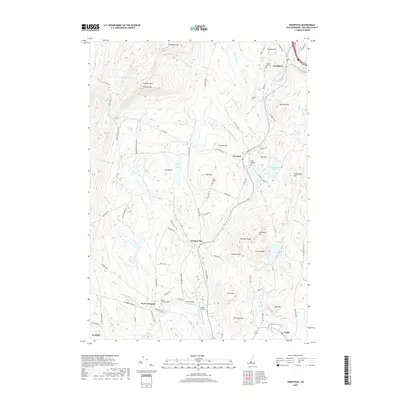
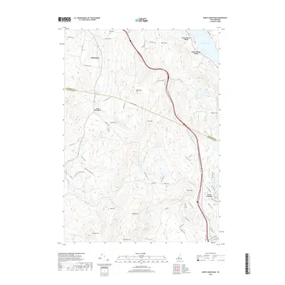
1998 Washington
Sullivan County, NH
2012 Alstead
Sullivan County, NH
2012 Claremont North
Sullivan County, NH
2012 Claremont South
Sullivan County, NH
2012 East Lempster
Sullivan County, NH
2012 Grantham
Sullivan County, NH
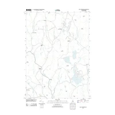
2012 Newport
Sullivan County, NH
2012 North Grantham
Sullivan County, NH
2012 Sunapee Lake North
Sullivan County, NH
2012 Washington
Sullivan County, NH

2015 Alstead
Sullivan County, NH
2015 Claremont North
Sullivan County, NH
2015 Claremont South
Sullivan County, NH
2015 East Lempster
Sullivan County, NH
2015 Grantham
Sullivan County, NH
2015 Newport
Sullivan County, NH
2015 North Grantham
Sullivan County, NH
2015 Sunapee Lake North
Sullivan County, NH
2015 Washington
Sullivan County, NH
2018 Alstead
Sullivan County, NH
2018 Claremont North
Sullivan County, NH
2018 Claremont South
Sullivan County, NH
2018 East Lempster
Sullivan County, NH
2018 Grantham
Sullivan County, NH
2018 Newport
Sullivan County, NH
2018 North Grantham
Sullivan County, NH
2018 Sunapee Lake North
Sullivan County, NH
2018 Washington
Sullivan County, NH
2021 Alstead
Sullivan County, NH
2021 Claremont North
Sullivan County, NH
2021 Claremont South
Sullivan County, NH
2021 East Lempster
Sullivan County, NH
2021 Grantham
Sullivan County, NH
2021 Newport
Sullivan County, NH
2021 North Grantham
Sullivan County, NH
2021 Sunapee Lake North
Sullivan County, NH
2021 Washington
Sullivan County, NH
2024 Alstead
Sullivan County, NH
2024 Claremont North
Sullivan County, NH
2024 Claremont South
Sullivan County, NH
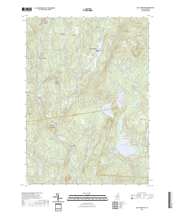
2024 East Lempster
Sullivan County, NH

2024 Grantham
Sullivan County, NH
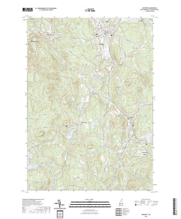
2024 Newport
Sullivan County, NH
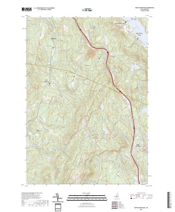
2024 North Grantham
Sullivan County, NH

2024 Sunapee Lake North
Sullivan County, NH
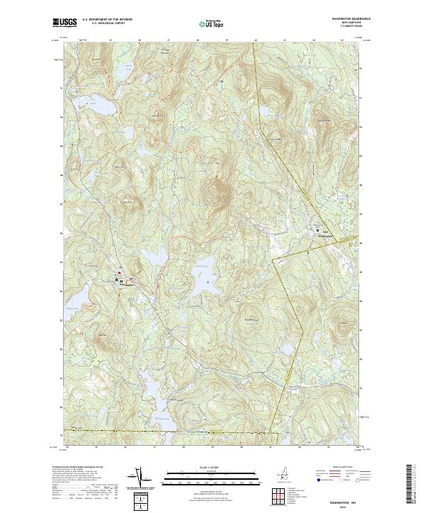
2024 Washington
Sullivan County, NH