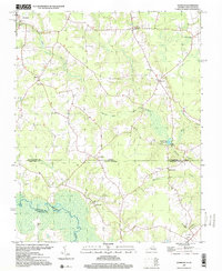
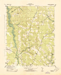
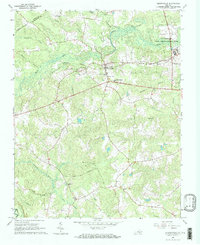
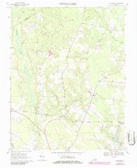
1997 Map of Sunbeam
USGS Topo · Published 2000About this map
Newsoms and the small agricultural community of Sands anchor the northwestern corner of this landscape, which straddles the border between Virginia and North Carolina. The map depicts a classic Coastal Plain rural economy centered on water-powered industry and dispersed crossroads settlements, most notably at Sunbeam and Statesville. The flow of Darden Mill Run and the presence of Windbourne Millpond indicate the long-standing importance of milling to the local timber and farming sectors. Deep in the southern portion of the quadrangle, the wide swampy bottomlands of the Meherrin River create a natural barrier between Southampton and Hertford counties. The density of community landmarks like Mt Horeb Ch, New Hope Ch, and Hollywood Cem provides essential spatial data for genealogists tracing family ties across the state line near Como.
Find a feature on this map
28 named features on this map. Tap any name to fly to it.
Don’t see what you’re looking for? This feature index may not catch every label — zoom into the map to look around manually.
Map Details
Editions of this 1997 Sunbeam Map
This is the sole edition of this map. No revisions or reprints were ever made.
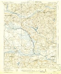
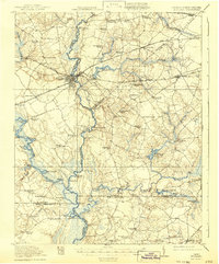
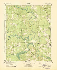
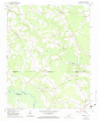
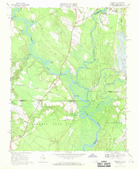
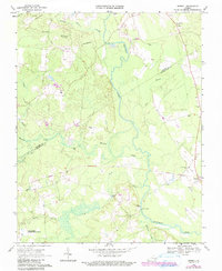
Historical Maps of Newsoms Through Time
24 maps found

1919 Arringdale
Southampton County, VA
1920 Arringdale
Southampton County, VA
1920 Holland
Southampton County, VA

1942 Arringdale
Southampton County, VA

1943 Holland
Southampton County, VA
1943 Sebrell
Southampton County, VA
1943 Vicksville
Southampton County, VA

1957 Holland
Southampton County, VA
1957 Sebrell
Southampton County, VA
1957 Vicksville
Southampton County, VA
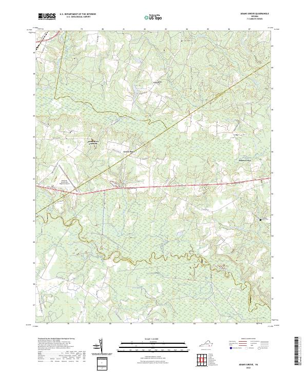
1966 Adams Grove
Southampton County, VA
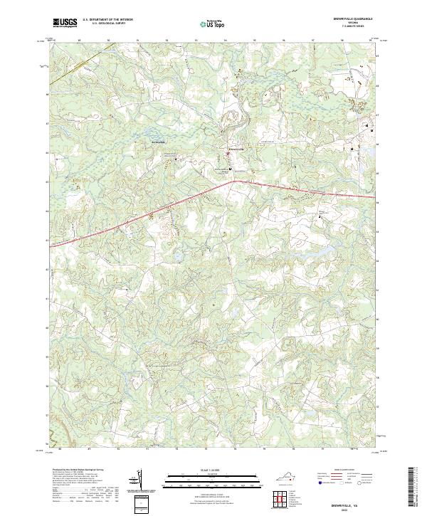
1966 Drewryville
Southampton County, VA
1966 Sunbeam
Southampton County, VA
1967 Riverdale
Southampton County, VA
1968 Sebrell
Southampton County, VA
1969 Vicksville
Southampton County, VA
1985 Norfolk
Southampton County, VA
1997 Sunbeam
Southampton County, VA
2022 Adams Grove
Southampton County, VA
2022 Drewryville
Southampton County, VA
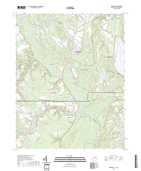
2022 Riverdale
Southampton County, VA
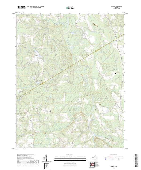
2022 Sebrell
Southampton County, VA
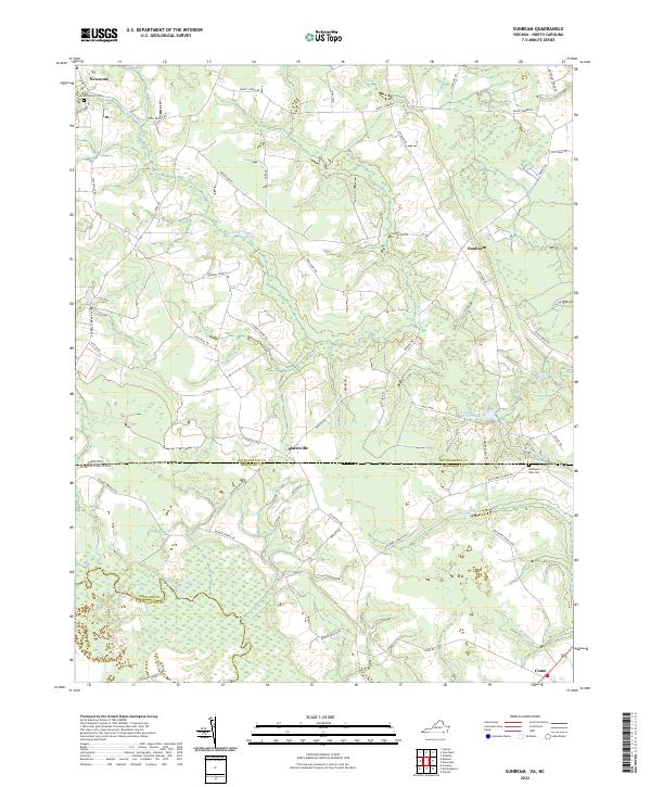
2022 Sunbeam
Southampton County, VA
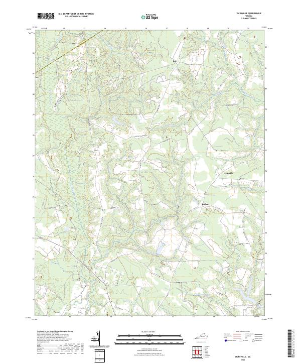
2022 Vicksville
Southampton County, VA