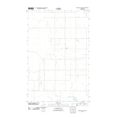
2011 Map of Sunnyhill School
USGS Topo · Published 2011About this map
Sunnyhill and its surrounding landscape in Roosevelt County are defined by a sparse network of section-line roads and the winding paths of intermittent waterways. Central to the community is the Sunnyhill School, situated along S Dagmar Rd where the elevation begins to rise into the Sandhills. This 2011 survey illustrates a region where local travel is managed by routes such as County Hwy-515 and the Sheridan-Roosevelt County Rd, which marks the jurisdictional boundary at the southern edge of the quadrangle.
Find a feature on this map
11 named features on this map. Tap any name to fly to it.
Don’t see what you’re looking for? This feature index may not catch every label — zoom into the map to look around manually.
Map Details
Editions of this 2011 Sunnyhill School Map
This is the sole edition of this map. No revisions or reprints were ever made.
Other maps of this area

1946 · Brush Lake
USGS Topo · 1:24,000

1946 · Dagmar
USGS Topo · 1:24,000

1947 · Capeneys Lake
USGS Topo · 1:24,000

1948 · Capeneys Lake
USGS Topo · 1:24,000

1948 · Dagmar
USGS Topo · 1:24,000

1948 · Brush Lake
USGS Topo · 1:24,000

1948 · Reserve SE
USGS Topo · 1:24,000

1948 · Sunnyhill School
USGS Topo · 1:24,000

1949 · Reserve SE
USGS Topo · 1:24,000

1949 · Sunnyhill School
USGS Topo · 1:24,000