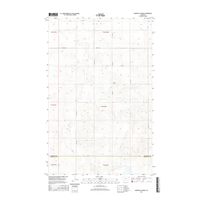
2017 Map of Sunnyhill School
USGS Topo · Published 2017About this map
Sunnyhill School serves as a central landmark in this corner of the High Plains, situated at the intersection of S Dagmar Rd and Viewhill Rd. The landscape is defined by the winding course of Sand Cr, which carves through the undulating topography of northeast Montana. This 2017 survey captures a remote agricultural corridor spanning the border of Sheridan and Roosevelt counties. A grid of section-line roads, including Sandhills Rd and Sunnyhill Rd, provides access to the scattered farmsteads and open rangeland. The presence of E Lake Hwy along the northern edge suggests a connection to larger regional routes, while the interior remains a quiet landscape of drainage basins and high plateaus typical of this prairie region.
Find a feature on this map
16 named features on this map. Tap any name to fly to it.
Don’t see what you’re looking for? This feature index may not catch every label — zoom into the map to look around manually.
Map Details
Editions of this 2017 Sunnyhill School Map
This is the sole edition of this map. No revisions or reprints were ever made.
Other maps of this area

1946 · Brush Lake
USGS Topo · 1:24,000

1946 · Dagmar
USGS Topo · 1:24,000

1947 · Capeneys Lake
USGS Topo · 1:24,000

1948 · Capeneys Lake
USGS Topo · 1:24,000

1948 · Dagmar
USGS Topo · 1:24,000

1948 · Brush Lake
USGS Topo · 1:24,000

1948 · Reserve SE
USGS Topo · 1:24,000

1948 · Sunnyhill School
USGS Topo · 1:24,000

1949 · Reserve SE
USGS Topo · 1:24,000

1949 · Sunnyhill School
USGS Topo · 1:24,000