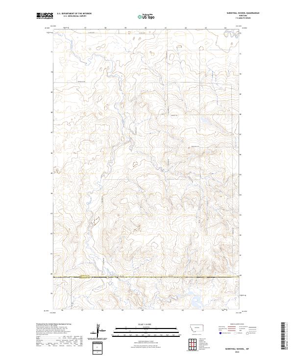
2024 Map of Sunnyhill School
USGS Topo · Published 2024About this map
The borderlands of Sheridan and Roosevelt Counties emerge in this detailed topographic study, where the northern plains of Montana are defined by a network of seasonal drainages and rural corridors. Sand Creek winds through the central terrain, carving subtle draws into the prairie landscape alongside Cottonwood Creek to the northeast. This area represents a quiet segment of the Big Muddy Creek watershed, where the infrastructure of the homesteading era has evolved into a grid of county roads. Local connectivity is maintained by routes such as Sunnyhill Rd, S Dagmar Rd, and Sandhills Rd, which provide access to the dispersed farmsteads and sections typical of this agricultural region. The map preserves the exact boundaries of townships like t31n r58e, essential for researchers tracing the historical development of land use and property lines in northeastern Montana.
Find a feature on this map
16 named features on this map. Tap any name to fly to it.
Don’t see what you’re looking for? This feature index may not catch every label — zoom into the map to look around manually.
Map Details
Editions of this 2024 Sunnyhill School Map
This is the sole edition of this map. No revisions or reprints were ever made.
Other maps of this area

1946 · Brush Lake
USGS Topo · 1:24,000

1946 · Dagmar
USGS Topo · 1:24,000

1947 · Capeneys Lake
USGS Topo · 1:24,000

1948 · Capeneys Lake
USGS Topo · 1:24,000

1948 · Dagmar
USGS Topo · 1:24,000

1948 · Brush Lake
USGS Topo · 1:24,000

1948 · Reserve SE
USGS Topo · 1:24,000

1948 · Sunnyhill School
USGS Topo · 1:24,000

1949 · Reserve SE
USGS Topo · 1:24,000

1949 · Sunnyhill School
USGS Topo · 1:24,000