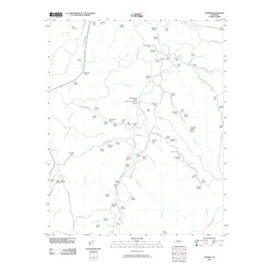
2010 Map of Sunrise
USGS Topo · Published 2010About this map
Big Swan Creek and its many tributaries, including Haw Branch and Lower Pine Branch, carve a complex network of hollows across this part of Tennessee. The landscape is defined by its deep mining history, with operations like the Little Piney Creek Mine and the Totty Hollow Mines scattered throughout the ridges. Local genealogy is well-represented through several family and community burial grounds, such as Whiteside Cemetery and the Meetinghouse Campground Cemetery. A notable geographical feature is the Jenkins Waterfall Falls near the Jenkins Branch Mine. Transport and commerce follow the contours of the land along the Natchez Trace Pkwy and Old Mail Rd, connecting isolated sites like Grimmett Hill and Nun Hollow.
Find a feature on this map
113 named features on this map. Tap any name to fly to it.
Don’t see what you’re looking for? This feature index may not catch every label — zoom into the map to look around manually.
Map Details
Editions of this 2010 Sunrise Map
This is the sole edition of this map. No revisions or reprints were ever made.
Other maps of this area

1901 · Colombia
USGS Topo · 1:125,000

1936 · Mt Joy
USGS Topo · 1:24,000

1936 · Beaverdam Springs
USGS Topo · 1:24,000

1936 · Nunnelly
USGS Topo · 1:24,000

1936 · Whitfield
USGS Topo · 1:24,000

1936 · Sunrise
USGS Topo · 1:24,000

1936 · Littlelot
USGS Topo · 1:24,000

1936 · Greenfield Bend
USGS Topo · 1:24,000

1936 · Kimmins
USGS Topo · 1:24,000

1936 · Gordonsburg
USGS Topo · 1:24,000