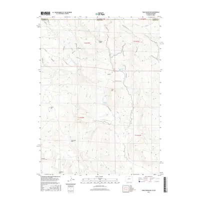
2016 Map of Table Mountain
USGS Topo · Published 2016About this map
The Wyoming-Colorado border divides this high-altitude landscape where the foothills of the Front Range meet the Laramie Mountains. Central to the topography is the massive formation of Table Mtn, flanked by distinctive landmarks like Sheep Mtn and the isolated prominence of Steamboat Rock to the south. The drainage patterns of Boxelder Creek and Sand Creek carve through the terrain, creating complex canyon systems like Haygood Canyon and the notable geological depression known as Big Hole.
Find a feature on this map
40 named features on this map. Tap any name to fly to it.
Don’t see what you’re looking for? This feature index may not catch every label — zoom into the map to look around manually.
Map Details
Editions of this 2016 Table Mountain Map
This is the sole edition of this map. No revisions or reprints were ever made.
Other maps of this area

1905 · Sherman
USGS Topo · 1:125,000

1907 · Livermore
USGS Topo · 1:125,000

1909 · Livermore
USGS Topo · 1:125,000

1948 · Sherman Mountains
USGS Topo · 1:62,500

1950 · Sherman Mountains
USGS Topo · 1:62,500

1954 · Cheyenne
USGS Topo · 1:250,000

1954 · Greeley
USGS Topo · 1:250,000

1957 · Greeley
USGS Topo · 1:250,000

1958 · Cheyenne
USGS Topo · 1:250,000

1958 · Greeley
USGS Topo · 1:250,000