Loading...
Loading map...2023 Map of Taholah
USGS Topo · Published 2023About this map
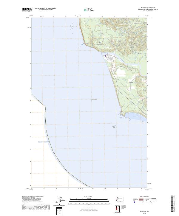
The Quinault Indian Nation settlement of Taholah serves as the central hub of this coastal survey, positioned at the mouth of the Quinault River. The village layout is detailed with local roads such as Quinault St, Cuitan St, and Capoeman Dr, leading toward the Taholah Cem on the northern edge of the community. Along the shoreline, the landscape is defined by the protected waters of Grenville Bay and dramatic coastal features like Point Grenville and Cape Elizabeth.
Find a feature on this map
29 named features on this map. Tap any name to fly to it.
Don’t see what you’re looking for? This feature index may not catch every label — zoom into the map to look around manually.
Map Details
Date Portrayed2023
Date Published2023
PublisherU.S. Geological Survey
Map TypeTopographic
Scale1:24000
Physical Dimensions24 x 29 inches
Editions of this 2023 Taholah Map
This is the sole edition of this map. No revisions or reprints were ever made.
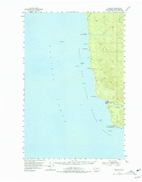
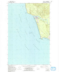
Historical Maps of Taholah Through Time
3 maps found
Featured Locations
Source Details
SourceU.S. Geological Survey
CopyrightPublic Domain