1982 Map of Taholah
USGS Topo · Published 1993About this map
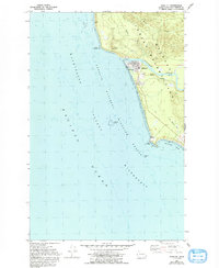
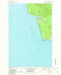
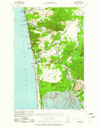
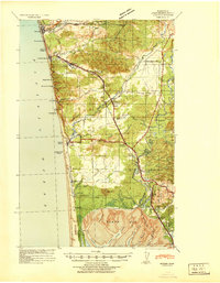
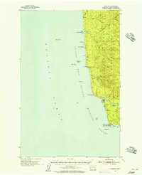
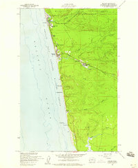
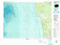
The Quinault Indian Reservation meets the Pacific coast on this 1980s-era topographic survey, centered on the settlement of Taholah. Situated at the mouth of the Quinault River, the village's infrastructure includes an Educational Center (Sch), several Water Tanks, and a Sewage Disposal plant. The landscape transition from the river valley to the ocean is marked by distinctive geological and industrial markers, such as a Gas Vent and Gas Mound near Cape Elizabeth. Along the southern coastline, Point Grenville and the Grenville Arch define the entrance to Grenville Bay, while the Washington Islands National Wildlife Refuge extends into the offshore waters. Inland, an Old Railroad Grade traces a historical transport corridor through the forested terrain near Duck Creek, providing a record of the area's logistical history.
Find a feature on this map
29 named features on this map. Tap any name to fly to it.
Don’t see what you’re looking for? This feature index may not catch every label — zoom into the map to look around manually.
Map Details
Editions of this 1982 Taholah Map
2 editions found
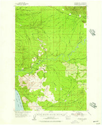
Other maps of this area
1938 · Moclips
USGS Topo · 1:62,500
1941 · Moclips
USGS Topo · 1:62,500

1943 · Copalis Beach
USGS Topo · 1:250,000

1951 · Copalis Beach
USGS Topo · 1:250,000
1955 · Taholah
USGS Topo · 1:62,500
1955 · Macafee Hill
USGS Topo · 1:62,500
1955 · Moclips
USGS Topo · 1:24,000

1957 · Copalis Beach
USGS Topo · 1:250,000

1963 · Copalis Beach
USGS Topo · 1:250,000
1980 · Copalis Beach
USGS Topo · 1:100,000