Loading...
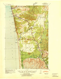
Loading map...1941 Map of Moclips
USGS Topo · Published 1941About this map
The Polson Logging Company rail lines and extensive industrial mills dominate this coastal landscape in the years before the Second World War. Stretching from the Quinault Indian Reservation in the north down to North Bay, the map captures the height of the regional timber economy. Notable industrial sites such as the Aloha Logging Company Mill, Stearns Shingle Mill, and Smith Shingle Mill are clearly marked along the rail corridors.
Find a feature on this map
69 named features on this map. Tap any name to fly to it.
Don’t see what you’re looking for? This feature index may not catch every label — zoom into the map to look around manually.
Map Details
Date Portrayed1941
Date Published1941
PublisherU.S. Geological Survey
Map TypeTopographic
Scale1:62,500
Physical Dimensions17 x 21.8 inches
Editions of this 1941 Moclips Map
This is the sole edition of this map. No revisions or reprints were ever made.
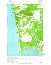
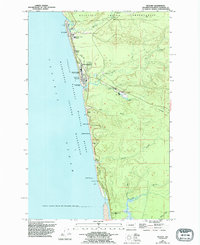
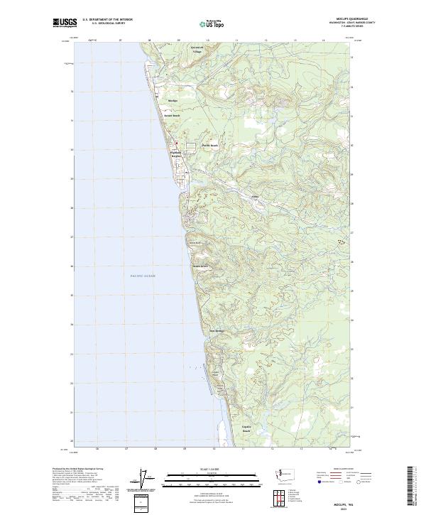
Historical Maps of Ocean Shores Through Time
4 maps found
Featured Locations
Source Details
SourceU.S. Geological Survey
CopyrightPublic Domain