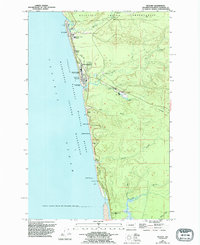
1955 Map of Moclips
USGS Topo · Published 1995About this map
The Quinault Indian Reservation and the coastal settlements of Grays Harbor County define this mid-century Pacific shoreline. Small communities like Moclips, Pacific Beach, and Aloha are connected by a network of drainage systems including Joe Creek and the Moclips River. This survey captures the region's diverse economic and military footprint, featuring the Pacific Beach Naval Facility situated near the coastline and a Sawmill inland along Beaver Creek.
Find a feature on this map
41 named features on this map. Tap any name to fly to it.
Don’t see what you’re looking for? This feature index may not catch every label — zoom into the map to look around manually.
Map Details
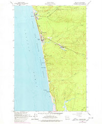
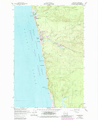
Editions of this 1955 Moclips Map
4 editions found
Other maps of this area

1938 · Moclips
USGS Topo · 1:62,500

1941 · Moclips
USGS Topo · 1:62,500

1943 · Copalis Beach
USGS Topo · 1:250,000

1951 · Copalis Beach
USGS Topo · 1:250,000

1955 · Taholah
USGS Topo · 1:62,500

1955 · Macafee Hill
USGS Topo · 1:62,500

1955 · Carlisle
USGS Topo · 1:24,000

1955 · Copalis Beach
USGS Topo · 1:24,000
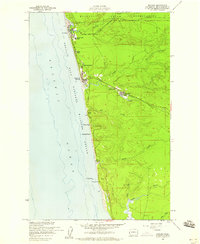
1955 · Moclips
USGS Topo · 1:24,000

1956 · Copalis Crossing
USGS Topo · 1:24,000