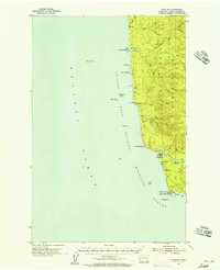
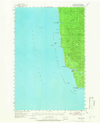
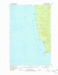
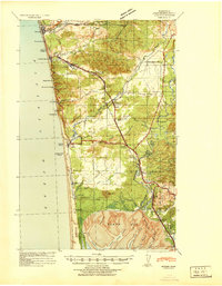
1955 Map of Taholah
USGS Topo · Published 1957About this map
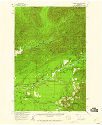
The Quinault Indian Reservation occupies the primary landscape of this mid-century coastal survey, where the dense hydrology of the Olympic Peninsula meets the Pacific Ocean. The village of Taholah sits at the critical junction where the Quinault River empties into the sea, serving as a focal point for the region’s maritime and riverine activity. To the south, a Coast Guard Res and a Loran Mast at Point Grenville highlight the area's strategic importance for coastal navigation and defense during the 1950s.
Find a feature on this map
31 named features on this map. Tap any name to fly to it.
Don’t see what you’re looking for? This feature index may not catch every label — zoom into the map to look around manually.
Map Details
Editions of this 1955 Taholah Map
3 editions found
Other maps of this area
1938 · Moclips
USGS Topo · 1:62,500
1941 · Moclips
USGS Topo · 1:62,500

1943 · Copalis Beach
USGS Topo · 1:250,000

1951 · Copalis Beach
USGS Topo · 1:250,000
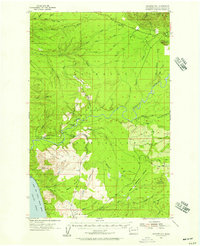
1955 · Macafee Hill
USGS Topo · 1:62,500
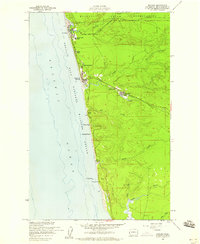
1955 · Moclips
USGS Topo · 1:24,000
1956 · Destruction Island
USGS Topo · 1:62,500
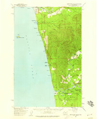
1956 · Salmon River
USGS Topo · 1:62,500

1957 · Copalis Beach
USGS Topo · 1:250,000

1963 · Copalis Beach
USGS Topo · 1:250,000