Loading...
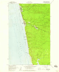
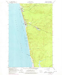
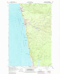
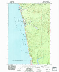
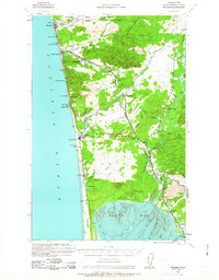
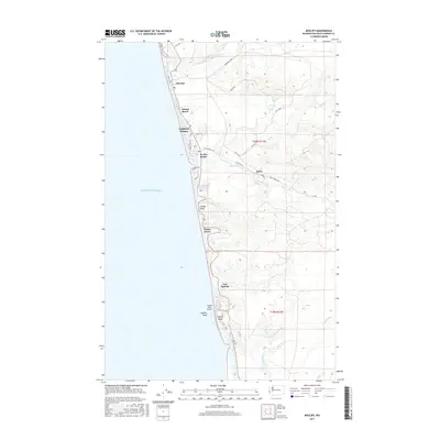
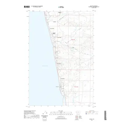
Loading map...1955 Map of Moclips
USGS Topo · Published 1959About this map
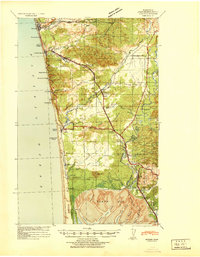
The Quinault Indian Reservation meets the Pacific shore in this mid-century survey, revealing a coastline defined by timber and tide. The town of Moclips serves as a northern hub, where the Moclips River flows into the sea near the Moclips Aloha School. Further south, the landscape is tied together by the Northern Pacific Railroad and a network of logging railroads that transported coastal timber to industrial points like the Sawmill at Aloha.
Find a feature on this map
29 named features on this map. Tap any name to fly to it.
Don’t see what you’re looking for? This feature index may not catch every label — zoom into the map to look around manually.
Map Details
Date Portrayed1955
Date Published1959
PublisherU.S. Geological Survey
Map TypeTopographic
Scale1:24,000
Physical Dimensions22 x 26.9 inches
Editions of this 1955 Moclips Map
4 editions found
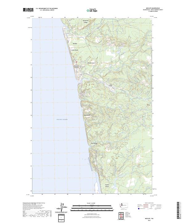
Historical Maps of Moclips Through Time
8 maps found
Featured Locations
Source Details
SourceU.S. Geological Survey
CopyrightPublic Domain