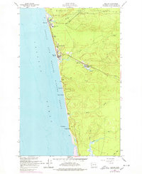
1955 Map of Moclips
USGS Topo · Published 1978About this map
Moclips and Pacific Beach anchor this coastal survey, where the timber economy and Pacific shoreline meet. The northern edge is dominated by the Quinault Indian Reservation, while the interior reveals the industrial infrastructure of the mid-century Olympic Peninsula. A Logging Railroad and the Northern Pacific Railroad track inland through the drainage basins of Joe Creek and Beaver Creek, supporting a local Sawmill at Aloha. Along the coast, residential developments like Highland Heights and Sunset Beach appear alongside the protected waters of the Copalis Rock National Wildlife Refuge. The map's detail extends south to Copalis Head, capturing a period when rail lines were still critical to moving coastal timber from the dense forests east of the Pacific Ocean.
Find a feature on this map
29 named features on this map. Tap any name to fly to it.
Don’t see what you’re looking for? This feature index may not catch every label — zoom into the map to look around manually.
Map Details
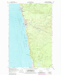
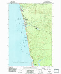
Editions of this 1955 Moclips Map
4 editions found
Other maps of this area

1938 · Moclips
USGS Topo · 1:62,500

1941 · Moclips
USGS Topo · 1:62,500

1943 · Copalis Beach
USGS Topo · 1:250,000

1951 · Copalis Beach
USGS Topo · 1:250,000

1955 · Taholah
USGS Topo · 1:62,500

1955 · Macafee Hill
USGS Topo · 1:62,500

1955 · Carlisle
USGS Topo · 1:24,000

1955 · Copalis Beach
USGS Topo · 1:24,000
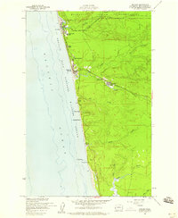
1955 · Moclips
USGS Topo · 1:24,000

1956 · Copalis Crossing
USGS Topo · 1:24,000