
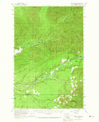
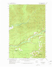
1956 Map of Salmon River
USGS Topo · Published 1960About this map
Mt Octopus and the surrounding river systems of the Olympic Peninsula are the central features of this mid-century topographic survey. The landscape is defined by the massive drainage basins of the Clearwater River and the Solleks River, where numerous waterways like Stequaleho Creek and Christmas Cr feed into the complex hydrological network of the Pacific Northwest. The map captures a moment when land use was strictly partitioned between the Olympic National Park, Olympic National Forest, and the northern edge of the Quinault Indian Reservation. Human presence is minimal, concentrated around the Queets Ranger Sta and Queets Campground near the riverbanks. The survey details the transition across the Jefferson and Grays Harbor county line, illustrating a territory dominated by timber management and federal conservation just before the intensification of modern logging access roads.
Find a feature on this map
51 named features on this map. Tap any name to fly to it.
Don’t see what you’re looking for? This feature index may not catch every label — zoom into the map to look around manually.
Map Details
Editions of this 1956 Salmon River Map
Other maps of this area

1921 · Quinault Lake
USGS Topo · 1:62,500

1939 · Forks
USGS Topo · 1:62,500

1939 · Mount Tom
USGS Topo · 1:62,500

1943 · Spruce Mountain
USGS Topo · 1:62,500

1943 · Copalis Beach
USGS Topo · 1:250,000

1951 · Copalis Beach
USGS Topo · 1:250,000

1955 · Taholah
USGS Topo · 1:62,500

1955 · Macafee Hill
USGS Topo · 1:62,500

1955 · Quinault Lake
USGS Topo · 1:62,500

1956 · Destruction Island
USGS Topo · 1:62,500