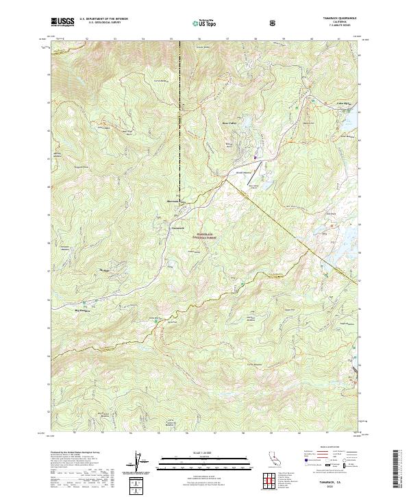
2022 Map of Tamarack
USGS Topo · Published 2022About this map
Bear Valley serves as a primary hub within this high-elevation landscape of the Stanislaus National Forest, surrounded by clusters of mountain settlements like Sherman Acres, Tamarack, and Skyhigh. The geography is defined by a dense network of meadows and basins, including Bloods Meadow, Jelmini Basin, and Big Meadow, which suggest a long history of seasonal grazing and recreational use. The presence of the Bear Valley Airport and residential tracts along Mountain View and Skyline Dr highlights the modern transition of these traditional timber and ranching lands into alpine residential communities.
Find a feature on this map
89 named features on this map. Tap any name to fly to it.
Don’t see what you’re looking for? This feature index may not catch every label — zoom into the map to look around manually.
Map Details
Editions of this 2022 Tamarack Map
This is the sole edition of this map. No revisions or reprints were ever made.
Other maps of this area

1889 · Pyramid Peak
USGS Topo · 1:125,000

1889 · Markleeville
USGS Topo · 1:125,000

1891 · Markleeville
USGS Topo · 1:125,000

1891 · Big Trees
USGS Topo · 1:125,000

1891 · Pyramid Peak
USGS Topo · 1:125,000

1893 · Markleeville
USGS Topo · 1:125,000

1894 · Big Trees
USGS Topo · 1:125,000

1895 · Pyramid Peak
USGS Topo · 1:125,000

1896 · Dardanelles
USGS Topo · 1:125,000

1896 · Pyramid Peak
USGS Topo · 1:125,000