2022 Map of Tampa
USGS Topo · Published 2022About this map
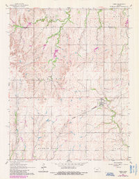
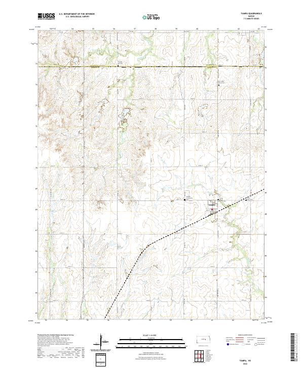
Tampa anchors the southeastern corner of the Dickinson and Marion County line, serving as a hub for the surrounding agricultural prairie. The landscape is defined by the headwaters of the Cottonwood River drainage, including W Turkey Cr, Middle Br, and Mud Cr, which carve shallow valleys through the gridded section lines. This 2022 survey documents a deeply rooted rural community, evidenced by several denominational and community burying grounds situated at key crossroads. Notable sites include Saint Johns Lutheran Cem to the north and the Lutheran Cem just outside the town limits. The presence of College Hill Cem and the Hackler Community Cem further highlights the settlement history of these townships. A network of namesake roads like Santa Fe Ave and Tampa-Dillon Rd connects the scattered homesteads across this central Kansas landscape.
Find a feature on this map
41 named features on this map. Tap any name to fly to it.
Don’t see what you’re looking for? This feature index may not catch every label — zoom into the map to look around manually.
Map Details
Editions of this 2022 Tampa Map
This is the sole edition of this map. No revisions or reprints were ever made.